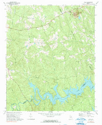
1972 Map of Aonia
USGS Topo · Published 1991About this map
Graves Mtn and the industrial activity of a northern Strip Mine stand in contrast to the quiet waters of Clark Hill Lake in this early 1970s landscape. Located at the intersection of Wilkes, Lincoln, and McDuffie counties, the area is defined by the winding course of the Little River and numerous creek systems like Lloyd Creek and Upton Creek. Small communities such as Aonia, Oak Grove, and Adasburg serve as local anchors, connected by a network of rural roads including Highway 378.
Find a feature on this map
34 named features on this map. Tap any name to fly to it.
Don’t see what you’re looking for? This feature index may not catch every label — zoom into the map to look around manually.
Map Details
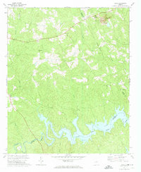
Editions of this 1972 Aonia Map
2 editions found
Other maps of this area

1892 · Mc Cormick
USGS Topo · 1:125,000

1906 · Crawfordville
USGS Topo · 1:125,000

1912 · Mc Cormick
USGS Topo · 1:125,000

1921 · Appling
USGS Topo · 1:62,500

1943 · Appling
USGS Topo · 1:62,500

1953 · Athens
USGS Topo · 1:250,000

1954 · Metasville
USGS Topo · 1:24,000

1955 · Tignall
USGS Topo · 1:24,000

1958 · Athens
USGS Topo · 1:250,000

1959 · Athens
USGS Topo · 1:250,000