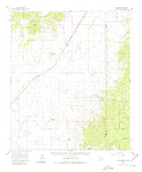
1958 Map of Apache
USGS Topo · Published 1980About this map
The Geronimo Surrender Site marks a pivotal location in the high desert, where the Chiricahua Apache leader finally surrendered to U.S. forces. This mid-century survey captures the remote intersection of the Chiricahua Mountains and the Peloncillo Mountains, a landscape defined by sharp drainage basins like Skeleton Canyon and Starvation Canyon. The small settlement at Apache sits alongside the Southern Pacific railroad line, serving as a focal point for the local ranching economy.
Find a feature on this map
46 named features on this map. Tap any name to fly to it.
Don’t see what you’re looking for? This feature index may not catch every label — zoom into the map to look around manually.
Map Details
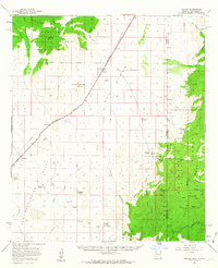
Editions of this 1958 Apache Map
3 editions found

Other maps of this area

1917 · Chiricahua
USGS Topo · 1:125,000

1918 · Cienega Springs
USGS Topo · 1:62,500

1918 · Animas Peak
USGS Topo · 1:62,500

1918 · Pratt
USGS Topo · 1:62,500

1919 · Pratt
USGS Topo · 1:62,500

1919 · Perilla
USGS Topo · 1:125,000

1919 · Chiricahua
USGS Topo · 1:125,000

1920 · Animas Peak
USGS Topo · 1:62,500

1922 · McDonald
USGS Topo · 1:62,500

1926 · Rodeo
USGS Topo · 1:62,500