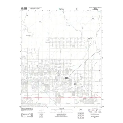
2011 Map of Apache Junction
USGS Topo · Published 2011About this map
Apache Junction serves as the focal point of this 2011 survey, showing the intensive suburban expansion and residential street grids typical of early 21st-century Central Arizona. The map details numerous housing developments and named subdivisions such as Palm Springs and Larkspur Ranch, situated south of the dramatic elevations of Pass Mountain and the Orohai Mountains. The natural drainage patterns of the Sonoran Desert are clearly marked by seasonal watercourses like Bulldog Wash and Weekes Wash, which thread through the grid-patterned streets.
Find a feature on this map
110 named features on this map. Tap any name to fly to it.
Don’t see what you’re looking for? This feature index may not catch every label — zoom into the map to look around manually.
Map Details
Editions of this 2011 Apache Junction Map
This is the sole edition of this map. No revisions or reprints were ever made.
Other maps of this area

1900 · Florence
USGS Topo · 1:125,000

1902 · Florence
USGS Topo · 1:125,000

1904 · Desert Well
USGS Topo · 1:62,500

1904 · Ft. McDowell
USGS Topo · 1:62,500

1906 · Ft. McDowell
USGS Topo · 1:62,500

1906 · Desert Well
USGS Topo · 1:62,500

1907 · Roosevelt
USGS Topo · 1:125,000

1909 · Four Peaks
USGS Topo · 1:125,000

1912 · Roosevelt
USGS Topo · 1:125,000

1930 · Cave Creek
USGS Topo · 1:125,000