
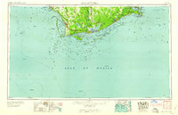
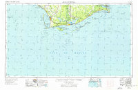
1960 Map of Apalachicola
USGS Topo · Published 1960This historical map portrays the area of Apalachicola in 1960, primarily covering Franklin County as well as portions of Gulf County, Wakulla County, Bay County, and Liberty County. Featuring a scale of 1:250000, this map provides a highly detailed snapshot of the terrain, roads, buildings, counties, and historical landmarks in the Apalachicola region at the time. Published in 1960, it is one of 2 known editions of this map due to revisions or reprints.
Map Details
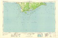
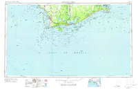
Editions of this 1960 Apalachicola Map
2 editions found
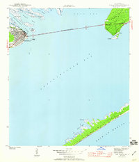
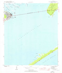
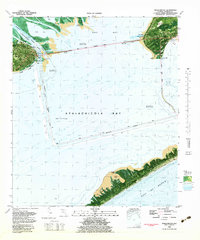
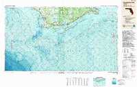
Historical Maps of Apalachicola Through Time
9 maps found
1943 Apalachicola
Franklin County, FL
1944 Apalachicola
Franklin County, FL

1949 Apalachicola
Franklin County, FL
1957 Apalachicola
Franklin County, FL

1959 Apalachicola
Franklin County, FL
1960 Apalachicola
Franklin County, FL
1967 Apalachicola
Franklin County, FL
1982 Apalachicola
Franklin County, FL
1988 Apalachicola
Franklin County, FL
Featured Locations
- Apalachicola, FL
- Bay County, FL
- Franklin County, FL
- Gulf County, FL
- Liberty County, FL
- Wakulla County, FL
- Florida