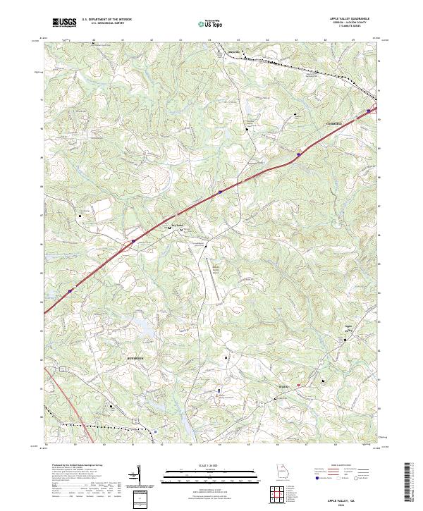
2024 Map of Apple Valley
USGS Topo · Published 2024About this map
North Oconee River and its numerous tributaries, including Stockton Creek, Curry Creek, and Gravelly Creek, carve through this section of Jackson County. The landscape is defined by a network of established communities like Jefferson, Maysville, and Commerce, interspersed with smaller hamlets such as Thyatira and Apple Valley. The density of community anchors, such as the Jackson County Courthouse and the Jackson County Airport, points to the area's role as a regional hub. Local history is deeply embedded in the land through numerous burial sites, ranging from the Atkins Family Cem to the Wilson Chapel Methodist Cem. A notable geographic feature, Hurricane Shoal, sits along the river's path, while modern infrastructure is represented by the Bus 129 corridor and numerous local routes like Maysville Rd.
Find a feature on this map
166 named features on this map. Tap any name to fly to it.
Don’t see what you’re looking for? This feature index may not catch every label — zoom into the map to look around manually.
Map Details
Editions of this 2024 Apple Valley Map
This is the sole edition of this map. No revisions or reprints were ever made.
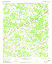
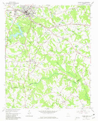
Historical Maps of Thyatira Through Time
4 maps found