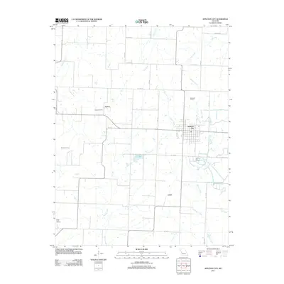
2011 Map of Appleton City
USGS Topo · Published 2011About this map
Appleton City serves as the primary hub in this West-Central Missouri landscape, surrounded by a network of drainage systems including Panther Creek and Monegaw Creek. The town's grid is clearly defined near the eastern edge of the quadrangle, with the Appleton City Cemetery and Appleton City Lake situated nearby. Further west, the map documents smaller historical settlements such as Hudson, which is prominently anchored by the Hudson Post Office, and the locality of Lindale.
Find a feature on this map
32 named features on this map. Tap any name to fly to it.
Don’t see what you’re looking for? This feature index may not catch every label — zoom into the map to look around manually.
Map Details
Editions of this 2011 Appleton City Map
This is the sole edition of this map. No revisions or reprints were ever made.
Other maps of this area

1887 · Clinton
USGS Topo · 1:125,000

1887 · Butler
USGS Topo · 1:125,000

1894 · Butler
USGS Topo · 1:125,000

1894 · Clinton
USGS Topo · 1:125,000

1934 · Papinsville
USGS Topo · 1:24,000

1934 · Rockville
USGS Topo · 1:24,000

1938 · Taberville
USGS Topo · 1:24,000

1940 · Taberville
USGS Topo · 1:24,000

1947 · Jefferson City
USGS Topo · 1:250,000

1947 · Lawrence
USGS Topo · 1:250,000