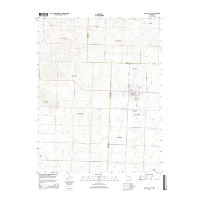
2014 Map of Appleton City
USGS Topo · Published 2014About this map
Appleton City serves as the primary hub of this landscape where Bates, Henry, and St. Clair Counties meet. The town's grid is clearly defined by streets such as E 1st St and E Burbank St, while the surrounding prairie is marked by small agricultural settlements like Hudson and Lindale. Water management for the community is anchored by the Appleton City Lake, which sits among a drainage network of creeks including Panther Cr and Monegaw Cr. Genealogists will find several burial grounds across the area, from the larger Appleton City Cemetery to the more outlying Blackwell Cemetery and Round Prairie Cemetery, providing a detailed look at the rural distribution of family sites in the early 21st century.
Find a feature on this map
42 named features on this map. Tap any name to fly to it.
Don’t see what you’re looking for? This feature index may not catch every label — zoom into the map to look around manually.
Map Details
Editions of this 2014 Appleton City Map
This is the sole edition of this map. No revisions or reprints were ever made.
Other maps of this area

1887 · Clinton
USGS Topo · 1:125,000

1887 · Butler
USGS Topo · 1:125,000

1894 · Butler
USGS Topo · 1:125,000

1894 · Clinton
USGS Topo · 1:125,000

1934 · Papinsville
USGS Topo · 1:24,000

1934 · Rockville
USGS Topo · 1:24,000

1938 · Taberville
USGS Topo · 1:24,000

1940 · Taberville
USGS Topo · 1:24,000

1947 · Jefferson City
USGS Topo · 1:250,000

1947 · Lawrence
USGS Topo · 1:250,000