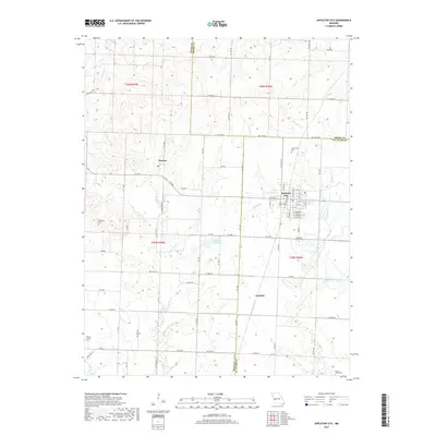
2017 Map of Appleton City
USGS Topo · Published 2017About this map
Appleton City serves as the focal point of this rural Missouri survey, situated at the jurisdictional crossroads of St. Clair, Bates, and Henry counties. The town's grid is detailed with street names ranging from E 1st St to E Burbank St, reflecting a established midwestern settlement pattern. The surrounding landscape is defined by the winding paths of Monegaw Cr and Panther Cr, which feed into the local reservoir at Appleton City-Lake.
Find a feature on this map
53 named features on this map. Tap any name to fly to it.
Don’t see what you’re looking for? This feature index may not catch every label — zoom into the map to look around manually.
Map Details
Editions of this 2017 Appleton City Map
This is the sole edition of this map. No revisions or reprints were ever made.
Other maps of this area

1887 · Clinton
USGS Topo · 1:125,000

1887 · Butler
USGS Topo · 1:125,000

1894 · Butler
USGS Topo · 1:125,000

1894 · Clinton
USGS Topo · 1:125,000

1934 · Papinsville
USGS Topo · 1:24,000

1934 · Rockville
USGS Topo · 1:24,000

1938 · Taberville
USGS Topo · 1:24,000

1940 · Taberville
USGS Topo · 1:24,000

1947 · Jefferson City
USGS Topo · 1:250,000

1947 · Lawrence
USGS Topo · 1:250,000