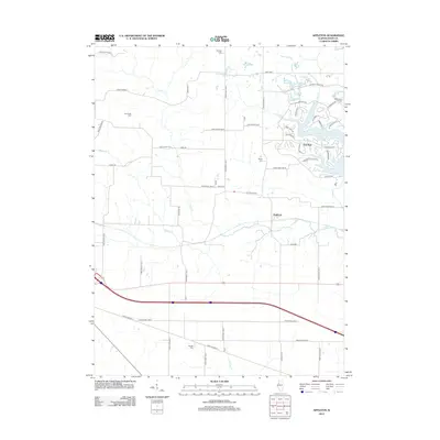
2012 Map of Appleton
USGS Topo · Published 2012About this map
Spoon Lake and its surrounding residential developments anchor the northeastern corner of this Knox County landscape, where the waters of Sugar Creek are gathered. The map illustrates a transitional rural geography, where traditional farmstead patterns defined by North Creek and Middle Creek meet the modern planned community of Oak Run. The small settlement of Appleton sits near the center, positioned along a network of gravel and paved routes such as Old Wagon Road and Aloha Road. Genealogists will find several notable burial sites distributed throughout the township, including Westfall Cemetery, Van Gilder Cemetery, Myers Cemetery, and Russell Cemetery, providing clear evidence of the area's long-established family history. The southern portion of the quadrangle is dominated by the straight-line transit of Knox Highway 17 and the bypass, cutting through the drainage of Little Haw Creek.
Find a feature on this map
55 named features on this map. Tap any name to fly to it.
Don’t see what you’re looking for? This feature index may not catch every label — zoom into the map to look around manually.
Map Details
Editions of this 2012 Appleton Map
This is the sole edition of this map. No revisions or reprints were ever made.
Other maps of this area

1925 · Galesburg
USGS Topo · 1:62,500

1927 · Galesburg
USGS Topo · 1:62,500

1931 · Galva
USGS Topo · 1:48,000

1940 · Galva
USGS Topo · 1:62,500

1941 · Maquon
USGS Topo · 1:62,500

1943 · Maquon
USGS Topo · 1:62,500

1944 · Galva
USGS Topo · 1:62,500

1947 · Woodhull
USGS Topo · 1:62,500

1958 · Burlington
USGS Topo · 1:250,000

1958 · Davenport
USGS Topo · 1:250,000