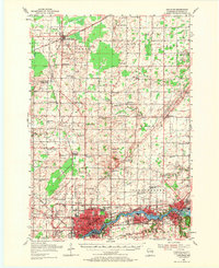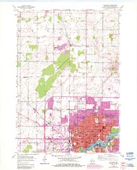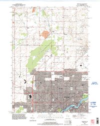
1984 Map of Appleton
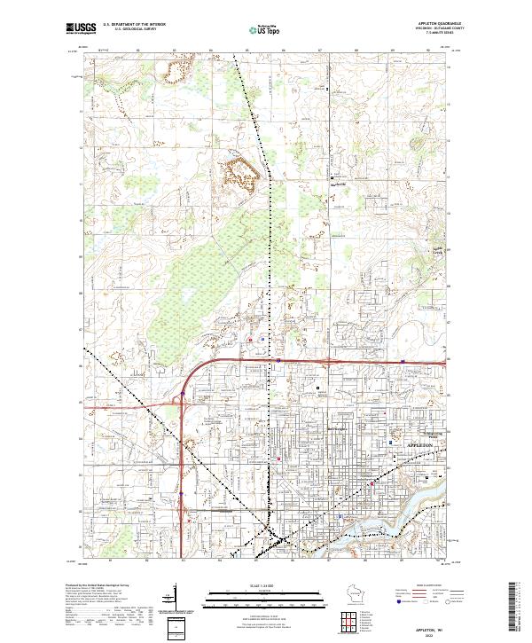
USGS Topo · Published 1989About this map
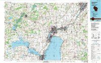
The Fox River corridor serves as the industrial and population backbone of this mid-1980s landscape, connecting the urban centers of Appleton, Neenah, and Menasha along the northern shores of Lake Winnebago. This region shows a complex network of manufacturing and education, with Lawrence University and the University of Wisconsin-Oshkosh anchoring the cultural centers of their respective cities. To the west, the landscape shifts toward the sprawling wetlands of the Wolf River system, where Lake Poygan and Lake Winneconne dominate the terrain.
Find a feature on this map
112 named features on this map. Tap any name to fly to it.
Don’t see what you’re looking for? This feature index may not catch every label — zoom into the map to look around manually.
Map Details
Editions of this 1984 Appleton Map
2 editions found

Historical Maps of Green Bay Through Time
5 maps found