Loading...
Loading map...2022 Map of Aquadale
USGS Topo · Published 2022About this map
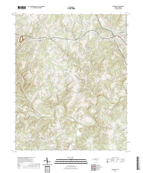
Rocky River flows along the boundary between Stanly and Anson counties, anchoring a landscape defined by rolling creek drainages and small rural settlements. The area around Aquadale and Cottonville is characterized by a dense network of country roads, many of which bear the names of local families and landmarks, such as Boone Caudle Rd and Gaddy's Ferry Rd. To the northeast, the town of Norwood serves as a local hub near where Cedar Cr meets the larger river system.
Find a feature on this map
100 named features on this map. Tap any name to fly to it.
Don’t see what you’re looking for? This feature index may not catch every label — zoom into the map to look around manually.
Map Details
Date Portrayed2022
Date Published2022
PublisherU.S. Geological Survey
Map TypeTopographic
Scale1:24000
Physical Dimensions24 x 29 inches
Editions of this 2022 Aquadale Map
This is the sole edition of this map. No revisions or reprints were ever made.
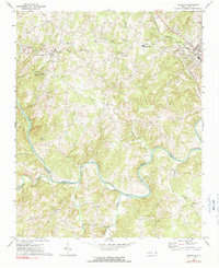
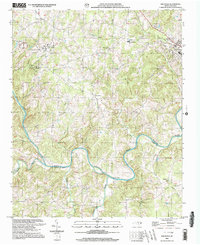
Historical Maps of Cottonville Through Time
3 maps found
Featured Locations
Source Details
SourceU.S. Geological Survey
CopyrightPublic Domain