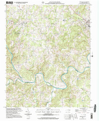
2002 Map of Aquadale
USGS Topo · Published 2003About this map
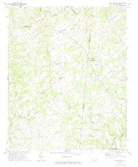
Aquadale and Cottonville anchor this rural landscape in the early 2000s, an area defined by its dense network of community landmarks and winding waterways. The Rocky River snakes across the southern portion of the sheet, forming the boundary between Stanly Co and Anson Co. A striking concentration of country churches, including Bethlehem Ch, Howards Chapel, and Cedar Grove Ch, suggests a long-established settlement pattern where local life centered around these small congregations and schools like South Stanly High Sch.
Find a feature on this map
41 named features on this map. Tap any name to fly to it.
Don’t see what you’re looking for? This feature index may not catch every label — zoom into the map to look around manually.
Map Details
Editions of this 2002 Aquadale Map
This is the sole edition of this map. No revisions or reprints were ever made.
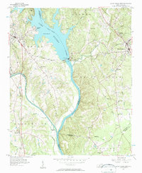
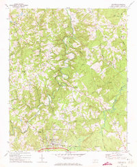
Other maps of this area

1953 · Charlotte
USGS Topo · 1:250,000

1954 · Charlotte
USGS Topo · 1:250,000
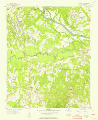
1956 · Ansonville
USGS Topo · 1:24,000
1956 · Mount Gilead West
USGS Topo · 1:24,000

1957 · Mount Pleasant
USGS Topo · 1:62,500

1957 · Albemarle
USGS Topo · 1:62,500

1960 · Charlotte
USGS Topo · 1:250,000

1962 · Charlotte
USGS Topo · 1:250,000
1970 · Polkton
USGS Topo · 1:24,000
1970 · Olive Branch
USGS Topo · 1:24,000