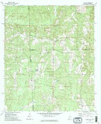
1974 Map of Aquilla
USGS Topo · Published 1977About this map
Aquilla sits at the heart of this mid-1970s survey, marking a quiet junction where the state line meets the timber-heavy landscape of Choctaw and Washington Counties. The terrain is defined by a dense network of drainage, where Turkey Creek and Sandy Creek carve through the ridges. This era of land use is visible in the scattered pockets of small-scale industry and forestry, such as the prominent Aquilla Lookout Tower and various sandpits dotting the landscape.
Find a feature on this map
27 named features on this map. Tap any name to fly to it.
Don’t see what you’re looking for? This feature index may not catch every label — zoom into the map to look around manually.
Map Details
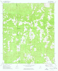
Editions of this 1974 Aquilla Map
2 editions found
Other maps of this area

1953 · Hattiesburg
USGS Topo · 1:250,000

1958 · Hattiesburg
USGS Topo · 1:250,000

1964 · Denham
USGS Topo · 1:24,000

1964 · Buckatunna
USGS Topo · 1:24,000

1964 · Matherville
USGS Topo · 1:24,000

1974 · Millry South
USGS Topo · 1:24,000

1974 · Millry North
USGS Topo · 1:24,000

1974 · Silas
USGS Topo · 1:24,000

1974 · Copeland
USGS Topo · 1:24,000

1974 · Isney
USGS Topo · 1:24,000