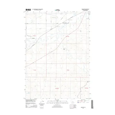
2015 Map of Arapahoe
USGS Topo · Published 2015About this map
Saint Stephens and Arapahoe sit at the heart of this landscape where the Little Wind River and Pope Agie River meet. The region is defined by an intricate network of irrigation channels, including the Sub-Agency Ditch, Lefthand Ditch, and Mission Ditch, which reflect the long-standing agricultural history of the Wind River Reservation. To the south, the terrain transitions into the dry, dissected topography of Preacher Draw and Sand Gulch, highlighting the contrast between the fertile river bottoms and the surrounding high desert.
Find a feature on this map
35 named features on this map. Tap any name to fly to it.
Don’t see what you’re looking for? This feature index may not catch every label — zoom into the map to look around manually.
Map Details
Editions of this 2015 Arapahoe Map
This is the sole edition of this map. No revisions or reprints were ever made.
Other maps of this area

1950 · Riverton East
USGS Topo · 1:24,000

1951 · Pavillion SE
USGS Topo · 1:24,000

1951 · Riverton West
USGS Topo · 1:24,000

1952 · Hudson
USGS Topo · 1:24,000

1952 · Lander SE
USGS Topo · 1:24,000

1953 · Arapahoe NE
USGS Topo · 1:24,000

1953 · Ninemile Hill
USGS Topo · 1:24,000

1953 · Bringolf Ranch
USGS Topo · 1:24,000

1953 · Arapahoe
USGS Topo · 1:24,000

1955 · Thermopolis
USGS Topo · 1:250,000