Loading...
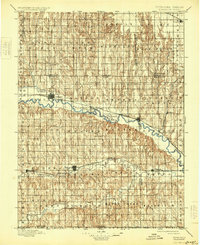
Loading map...1898 Map of Arapahoe
USGS Topo · Published 1931About this map
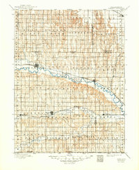
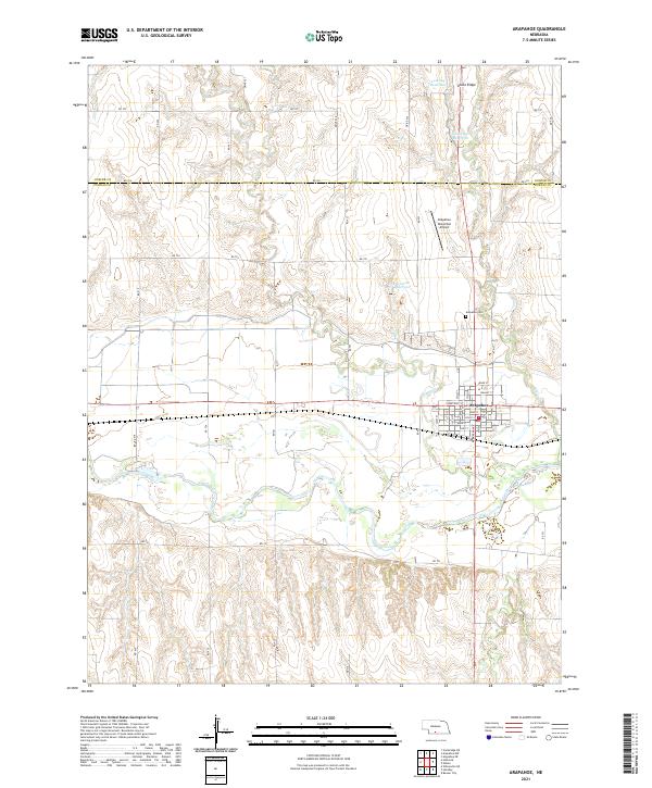
The Republican River valley forms the central corridor of this late 19th-century survey, where the Burlington and Missouri River RR follows the water's path to connect nascent prairie settlements. The town of Arapahoe stands as a primary hub, supported by a network of drainage systems including an Irrigating Ditch that hints at early agricultural development in the Republican valley.
Find a feature on this map
48 named features on this map. Tap any name to fly to it.
Don’t see what you’re looking for? This feature index may not catch every label — zoom into the map to look around manually.
Map Details
Date Portrayed1898
Date Published1931
PublisherU.S. Geological Survey
Map TypeTopographic
Scale1:125,000
Physical Dimensions16.2 x 19.8 inches
Editions of this 1898 Arapahoe Map
2 editions found

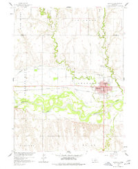
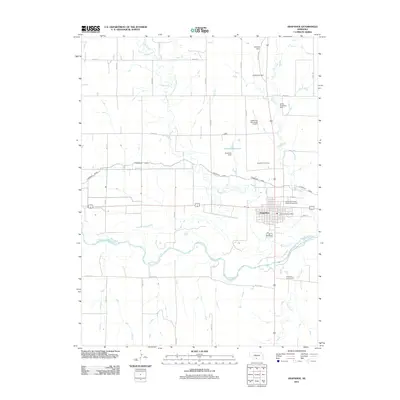
Historical Maps of Arapahoe Through Time
7 maps found
Featured Locations
Source Details
SourceU.S. Geological Survey
CopyrightPublic Domain