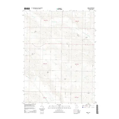
2015 Map of Arbela
USGS Topo · Published 2015About this map
The town of Arbela serves as the primary settlement in this northeast Missouri landscape, situated near the headwaters of several significant drainage systems. The terrain is defined by the winding paths of the S Wyaconda River to the north and the North Fabius River to the southwest, with an intricate network of smaller tributaries like Allen Cr and Bear Cr carving through the countryside. This 2015 survey reveals a rural landscape deeply rooted in its local history, evidenced by the numerous family and community burial grounds scattered across the townships, including Conyers Cemetery, Hickory Grove Cemetery, and Union Cemetery.
Find a feature on this map
38 named features on this map. Tap any name to fly to it.
Don’t see what you’re looking for? This feature index may not catch every label — zoom into the map to look around manually.
Map Details
Editions of this 2015 Arbela Map
This is the sole edition of this map. No revisions or reprints were ever made.
Other maps of this area

1903 · Kahoka
USGS Topo · 1:125,000

1903 · Edina
USGS Topo · 1:125,000

1950 · Colony
USGS Topo · 1:24,000

1951 · Colony
USGS Topo · 1:24,000

1951 · Wyaconda
USGS Topo · 1:24,000

1954 · Centerville
USGS Topo · 1:250,000

1957 · Centerville
USGS Topo · 1:250,000

1958 · Centerville
USGS Topo · 1:250,000

1958 · Burlington
USGS Topo · 1:250,000

1961 · Burlington
USGS Topo · 1:250,000