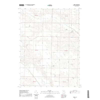
2017 Map of Arbela
USGS Topo · Published 2017About this map
The village of Arbela sits at the intersection of State Highway H and State Highway A, surrounded by the agricultural landscape of Scotland County. Several family and community burying grounds, including Conyers Cem and Hickory Grove Cem in the north and Shacklett Cem in the southeast, provide vital touchstones for genealogical research in this rural township. The drainage of the S Wyaconda River and the North Fabius River defines the local topography, with the Old Channel South Wyaconda River indicating shifts in the watercourse over time. Smaller tributaries like Bear Cr and Gunns Br carve through the sections, while the presence of Howard Airport near the center of the quadrangle marks a modern point of transit amidst the traditional farm-to-market roads like Hazel Hill Rd and Tavern RD.
Find a feature on this map
43 named features on this map. Tap any name to fly to it.
Don’t see what you’re looking for? This feature index may not catch every label — zoom into the map to look around manually.
Map Details
Editions of this 2017 Arbela Map
This is the sole edition of this map. No revisions or reprints were ever made.
Other maps of this area

1903 · Kahoka
USGS Topo · 1:125,000

1903 · Edina
USGS Topo · 1:125,000

1950 · Colony
USGS Topo · 1:24,000

1951 · Colony
USGS Topo · 1:24,000

1951 · Wyaconda
USGS Topo · 1:24,000

1954 · Centerville
USGS Topo · 1:250,000

1957 · Centerville
USGS Topo · 1:250,000

1958 · Centerville
USGS Topo · 1:250,000

1958 · Burlington
USGS Topo · 1:250,000

1961 · Burlington
USGS Topo · 1:250,000