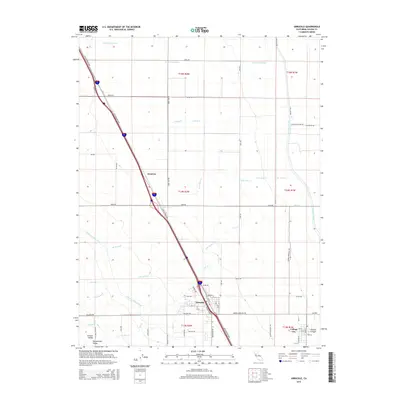
2015 Map of Arbuckle
USGS Topo · Published 2015About this map
The agricultural heart of the Sacramento Valley is defined by a complex irrigation network in this Colusa County landscape. Dominating the western and northern reaches, the Glenn-Colusa Canal and Tehama Colusa Canal channel essential water through the flatlands, supporting the region's long-standing farming tradition. The town of Arbuckle serves as a primary hub, situated along the historic corridor of Old Highway 99W. To the southeast, College City remains a distinct point of interest, established in the late 19th century as a temperance college town.
Find a feature on this map
103 named features on this map. Tap any name to fly to it.
Don’t see what you’re looking for? This feature index may not catch every label — zoom into the map to look around manually.
Map Details
Editions of this 2015 Arbuckle Map
This is the sole edition of this map. No revisions or reprints were ever made.
Other maps of this area

1888 · Marysville
USGS Topo · 1:125,000

1891 · Marysville
USGS Topo · 1:125,000

1894 · Marysville
USGS Topo · 1:125,000

1895 · Marysville
USGS Topo · 1:125,000

1905 · Harrington
USGS Topo · 1:24,000

1907 · Dunnigan
USGS Topo · 1:62,500

1907 · Colusa
USGS Topo · 1:62,500

1911 · Grimes
USGS Topo · 1:31,680

1912 · Meridian
USGS Topo · 1:31,680

1916 · Harrington
USGS Topo · 1:31,680