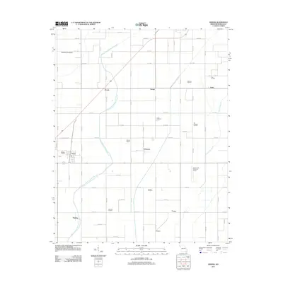
2011 Map of Arbyrd
USGS Topo · Published 2011About this map
Buffalo Island and the surrounding agricultural landscape of Dunklin County define this corner of the Missouri Bootheel. The area is heavily managed by an intricate drainage system, most notably Honey Cypress Ditch Number 34, which cuts diagonally across the terrain to facilitate large-scale farming. For genealogists, the map is a significant record of rural community life, preserving the locations of numerous family and church burial grounds such as Old Coldwater Cemetery, Silverdale Cemetery, and Lulu Cemetery. Small hubs like Arbyrd and Hollywood anchor the road network, while smaller named points like Bucoda and Caneer reflect the scattered nature of regional settlement. The presence of the Hornersville Memorial Airport and a grid of county roads shows the modern infrastructure supporting this historic delta-like landscape.
Find a feature on this map
71 named features on this map. Tap any name to fly to it.
Don’t see what you’re looking for? This feature index may not catch every label — zoom into the map to look around manually.
Map Details
Editions of this 2011 Arbyrd Map
This is the sole edition of this map. No revisions or reprints were ever made.
Other maps of this area

1934 · Kennett
USGS Topo · 1:62,500

1940 · Marmaduke
USGS Topo · 1:62,500

1940 · Kennett
USGS Topo · 1:62,500

1941 · Leachville
USGS Topo · 1:62,500

1941 · Manila
USGS Topo · 1:62,500

1953 · Memphis
USGS Topo · 1:250,000

1956 · Leachville
USGS Topo · 1:62,500

1956 · Kennett
USGS Topo · 1:62,500

1956 · Manila
USGS Topo · 1:62,500

1956 · Memphis
USGS Topo · 1:250,000