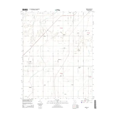
2015 Map of Arbyrd
USGS Topo · Published 2015About this map
The Missouri Bootheel landscape around Arbyrd and Senath is defined by an extensive drainage network, where man-made channels like Honey Cypress Ditch Number 34 and Red Devil Ditch have long managed the low-lying terrain of Dunklin County. This 2015 survey reveals a pattern of rural settlements and small agricultural hubs, including Hollywood, Bucoda, and Nesbit, connected by a grid of county roads and state routes like Mo-V. For family historians, the area is notable for its numerous burial grounds, such as Old Coldwater Cemetery, Silverdale Cemetery, and Lulu Cemetery, many of which sit adjacent to these vital waterways. The southern portion of the quadrangle shows the infrastructure of the Hornersville Memorial Airport and the transition into township t16n r8e, illustrating the modern management of this historically swampy region.
Find a feature on this map
52 named features on this map. Tap any name to fly to it.
Don’t see what you’re looking for? This feature index may not catch every label — zoom into the map to look around manually.
Map Details
Editions of this 2015 Arbyrd Map
This is the sole edition of this map. No revisions or reprints were ever made.
Other maps of this area

1934 · Kennett
USGS Topo · 1:62,500

1940 · Marmaduke
USGS Topo · 1:62,500

1940 · Kennett
USGS Topo · 1:62,500

1941 · Leachville
USGS Topo · 1:62,500

1941 · Manila
USGS Topo · 1:62,500

1953 · Memphis
USGS Topo · 1:250,000

1956 · Leachville
USGS Topo · 1:62,500

1956 · Kennett
USGS Topo · 1:62,500

1956 · Manila
USGS Topo · 1:62,500

1956 · Memphis
USGS Topo · 1:250,000