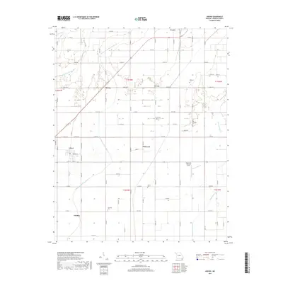
2017 Map of Arbyrd
USGS Topo · Published 2017About this map
Senath and Arbyrd anchor this portion of the Missouri Bootheel, a landscape defined by an intricate network of engineered drainage that transformed the Mississippi embayment's wetlands into productive farmland. Waterways like Honey Cypress Ditch Number 34, Red Devil Ditch, and Buffalo Arm Number 8 create a geometric grid of channels that dictate the local geography. Small rural settlements and communities such as Bucoda, Europa, Hollywood, and Paulding are scattered throughout the quadrangle, connected by a dense lattice of county roads.
Find a feature on this map
82 named features on this map. Tap any name to fly to it.
Don’t see what you’re looking for? This feature index may not catch every label — zoom into the map to look around manually.
Map Details
Editions of this 2017 Arbyrd Map
This is the sole edition of this map. No revisions or reprints were ever made.
Other maps of this area

1934 · Kennett
USGS Topo · 1:62,500

1940 · Marmaduke
USGS Topo · 1:62,500

1940 · Kennett
USGS Topo · 1:62,500

1941 · Leachville
USGS Topo · 1:62,500

1941 · Manila
USGS Topo · 1:62,500

1953 · Memphis
USGS Topo · 1:250,000

1956 · Leachville
USGS Topo · 1:62,500

1956 · Kennett
USGS Topo · 1:62,500

1956 · Manila
USGS Topo · 1:62,500

1956 · Memphis
USGS Topo · 1:250,000