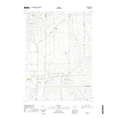
2019 Map of Arcade
USGS Topo · Published 2019About this map
Arcade serves as a primary hub where Cattaraugus Creek meets the confluence of Clear Creek, marking a landscape defined by its river valleys and surrounding heights. This 2019 survey captures the developed corridor connecting Yorkshire, Chaffee, and Delevan, reflecting a long history of settlement at the borders of Erie, Wyoming, and Cattaraugus Counties. The topography rises toward Vermont Hill in the northwest and Bixby Hill in the south, while the Arcade Tri-County Airport occupies a central plateau.
Find a feature on this map
90 named features on this map. Tap any name to fly to it.
Don’t see what you’re looking for? This feature index may not catch every label — zoom into the map to look around manually.
Map Details
Editions of this 2019 Arcade Map
This is the sole edition of this map. No revisions or reprints were ever made.
Other maps of this area

1923 · Arcade
USGS Topo · 1:62,500

1924 · Ellicottville
USGS Topo · 1:62,500

1924 · Franklinville
USGS Topo · 1:62,500

1925 · Springville
USGS Topo · 1:62,500

1925 · Arcade
USGS Topo · 1:62,500

1941 · Ellicottville
USGS Topo · 1:62,500

1942 · Franklinville
USGS Topo · 1:62,500
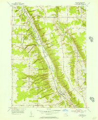
1955 · Holland
USGS Topo · 1:24,000

1957 · Sardinia
USGS Topo · 1:24,000
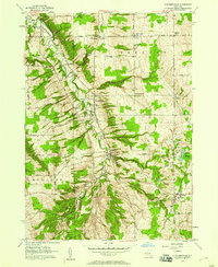
1957 · Strykersville
USGS Topo · 1:24,000