
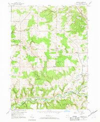
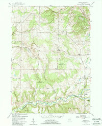
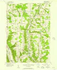
1957 Map of Sardinia
USGS Topo · Published 1958About this map
The rugged topography of southern Erie County is defined by the winding course of Cattaraugus Creek and the deep incisions of Gears Gulf and Gunbarrel Gulf. In the late 1950s, this landscape was a mosaic of rural crossroads and extensive managed timberlands, notably the State Reforestation Area blocks. The settlement pattern is anchored by family-named intersections like Matteson Corners, Johnstons Corners, and Shepards Corners, reflecting the agricultural heritage of the town of Sardinia.
Find a feature on this map
58 named features on this map. Tap any name to fly to it.
Don’t see what you’re looking for? This feature index may not catch every label — zoom into the map to look around manually.
Map Details
Editions of this 1957 Sardinia Map
3 editions found
Other maps of this area

1923 · Arcade
USGS Topo · 1:62,500

1924 · Ellicottville
USGS Topo · 1:62,500

1924 · Franklinville
USGS Topo · 1:62,500

1925 · Springville
USGS Topo · 1:62,500

1925 · Arcade
USGS Topo · 1:62,500

1941 · Ellicottville
USGS Topo · 1:62,500

1942 · Franklinville
USGS Topo · 1:62,500
1954 · Springville
USGS Topo · 1:24,000
1955 · Holland
USGS Topo · 1:24,000
1955 · Colden
USGS Topo · 1:24,000