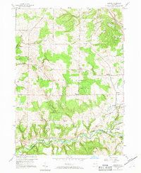
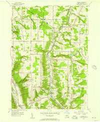
1957 Map of Sardinia
USGS Topo · Published 1969About this map
Cattaraugus Creek carves a deep valley along the southern border of this Western New York landscape, marking the boundary between Erie and Cattaraugus counties. The 1950s terrain is defined by a series of high ridges and narrow gulfs, including Gunbarrel Gulf and Richmond Gulf, which dictate the placement of rural roads and scattered hamlets. Small rural centers like Sardinia and Sillimans Corners serve as anchor points for the surrounding agricultural and timbered lands, while several youth retreats, such as Camp Seven Hills and Camp Ti-Wa-Ya-Ee, occupy the wooded uplands.
Find a feature on this map
53 named features on this map. Tap any name to fly to it.
Don’t see what you’re looking for? This feature index may not catch every label — zoom into the map to look around manually.
Map Details
Editions of this 1957 Sardinia Map
3 editions found

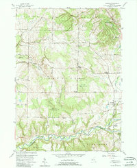
Other maps of this area

1923 · Arcade
USGS Topo · 1:62,500

1924 · Ellicottville
USGS Topo · 1:62,500

1924 · Franklinville
USGS Topo · 1:62,500

1925 · Springville
USGS Topo · 1:62,500

1925 · Arcade
USGS Topo · 1:62,500

1941 · Ellicottville
USGS Topo · 1:62,500

1942 · Franklinville
USGS Topo · 1:62,500
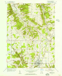
1954 · Springville
USGS Topo · 1:24,000
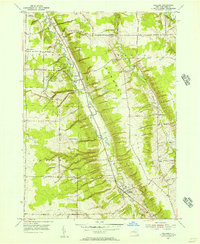
1955 · Holland
USGS Topo · 1:24,000
1955 · Colden
USGS Topo · 1:24,000