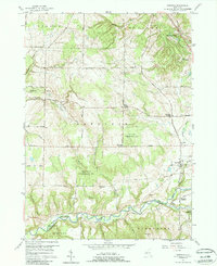
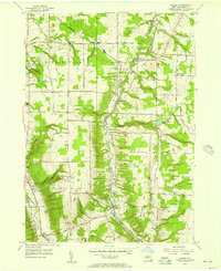
1957 Map of Sardinia
USGS Topo · Published 1988About this map
Sardinia sits at the heart of this mid-century landscape, surrounded by a network of rural hamlets defined by family-named intersections. The map documents a community structured around these crossroads, such as Matteson Corners, Scott Corners, and Shepards Corners. These points served as localized hubs for a population centered on agriculture and forestry, particularly within the Erie County Reforestation Area. To the south, Cattaraugus Creek marks the natural boundary between Erie and Cattaraugus counties, with the small settlement of The Forks located near the confluence of Elton Creek.
Find a feature on this map
55 named features on this map. Tap any name to fly to it.
Don’t see what you’re looking for? This feature index may not catch every label — zoom into the map to look around manually.
Map Details
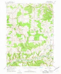
Editions of this 1957 Sardinia Map
3 editions found

Other maps of this area

1923 · Arcade
USGS Topo · 1:62,500

1924 · Ellicottville
USGS Topo · 1:62,500

1924 · Franklinville
USGS Topo · 1:62,500

1925 · Springville
USGS Topo · 1:62,500

1925 · Arcade
USGS Topo · 1:62,500

1941 · Ellicottville
USGS Topo · 1:62,500

1942 · Franklinville
USGS Topo · 1:62,500
1954 · Springville
USGS Topo · 1:24,000
1955 · Holland
USGS Topo · 1:24,000
1955 · Colden
USGS Topo · 1:24,000