
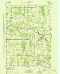
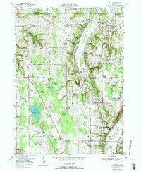
2023 Map of Arcade
USGS Topo · Published 2023About this map
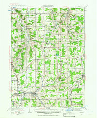
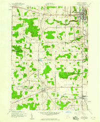
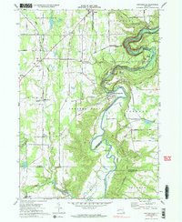
Cattaraugus Creek and Clear Creek define the southern landscape of this region where Wyoming, Erie, and Cattaraugus counties meet. The village of Arcade serves as a primary hub, situated near the confluence of several local waterways. To the north, the terrain rises toward Vermont Hill and Bixby Hill, dotted with smaller rural hamlets like Punkshire Corners, Curriers, and Dutchtown.
Find a feature on this map
82 named features on this map. Tap any name to fly to it.
Don’t see what you’re looking for? This feature index may not catch every label — zoom into the map to look around manually.
Map Details
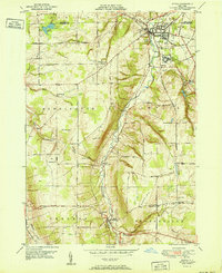
Editions of this 2023 Arcade Map
This is the sole edition of this map. No revisions or reprints were ever made.
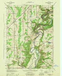
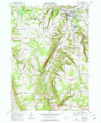
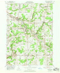
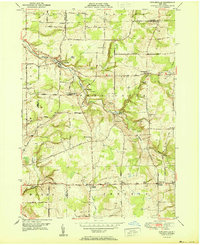
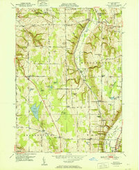
Historical Maps of Protection Through Time
32 maps found
1905 Portage
Wyoming County, NY
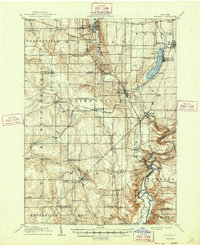
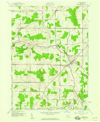
1923 Arcade
Wyoming County, NY
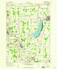
1925 Arcade
Wyoming County, NY
1943 Castile
Wyoming County, NY
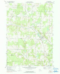
1943 Pike
Wyoming County, NY
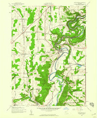
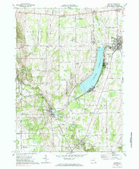
1943 Portageville
Wyoming County, NY
1943 Warsaw
Wyoming County, NY
1944 Castile
Wyoming County, NY
1944 Pike
Wyoming County, NY
1944 Portageville
Wyoming County, NY

1944 Warsaw
Wyoming County, NY
1949 Attica
Wyoming County, NY
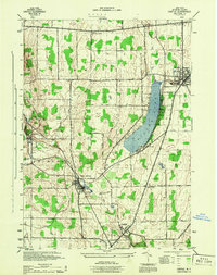
1949 Cowlesville
Wyoming County, NY
1949 Dale
Wyoming County, NY
1951 Attica
Wyoming County, NY
1951 Cowlesville
Wyoming County, NY
1951 Dale
Wyoming County, NY
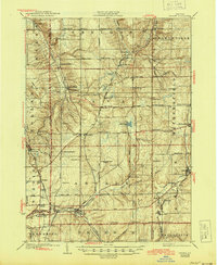
1966 Arcade
Wyoming County, NY
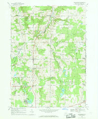
1966 Johnsonburg
Wyoming County, NY
1972 Castile
Wyoming County, NY
1972 Pike
Wyoming County, NY
1972 Portageville
Wyoming County, NY
1972 Warsaw
Wyoming County, NY
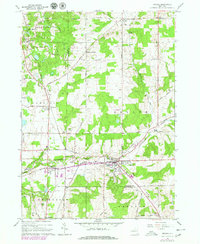
2023 Arcade
Wyoming County, NY

2023 Attica
Wyoming County, NY

2023 Castile
Wyoming County, NY

2023 Cowlesville
Wyoming County, NY

2023 Dale
Wyoming County, NY

2023 Johnsonburg
Wyoming County, NY

2023 Pike
Wyoming County, NY

2023 Portageville
Wyoming County, NY

2023 Warsaw
Wyoming County, NY