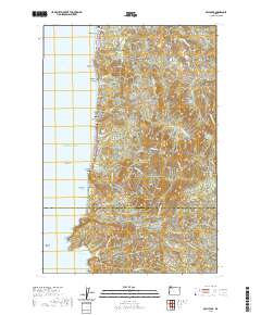
2020 Map of Arch Cape
USGS Topo · Published 2020About this map
Cannon Beach and Tolovana Park anchor the northern reaches of this coastal survey, where the Oregon shoreline meets the steep rises of the Coast Range. The map details a high-relief landscape defined by prominent headlands such as Silver Point, Humbug Point, and Hug Point, which create a series of sheltered coves including Cove Beach and Short Sand Beach. Inland, the terrain ascends rapidly to the summits of Angora Peak and Onion Peak, drained by a dense network of waters like Arch Cape Cr and W Fork Ecola Cr. A critical piece of infrastructure, the Arch Cape Tunnel 2247, facilitates travel through the cliffs near the Clatsop and Tillamook county line, reflecting the engineering required to navigate this shore. The settlement pattern is strictly linear, following the narrow coastal bench at Arch Cape and Arcadia Beach.
Find a feature on this map
82 named features on this map. Tap any name to fly to it.
Don’t see what you’re looking for? This feature index may not catch every label — zoom into the map to look around manually.
Map Details
Editions of this 2020 Arch Cape Map
This is the sole edition of this map. No revisions or reprints were ever made.
Other maps of this area

1937 · Nehalem
USGS Topo · 1:62,500

1940 · Cape Falcon
USGS Topo · 1:62,500

1943 · Nehalem
USGS Topo · 1:62,500

1948 · Vancouver
USGS Topo · 1:250,000

1949 · Tillamook Head
USGS Topo · 1:24,000

1950 · Vancouver
USGS Topo · 1:250,000

1950 · Vancouver
USGS Topo · 1:250,000

1955 · Nehalem
USGS Topo · 1:62,500
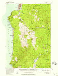
1955 · Cannon Beach
USGS Topo · 1:62,500

1958 · Vancouver
USGS Topo · 1:250,000