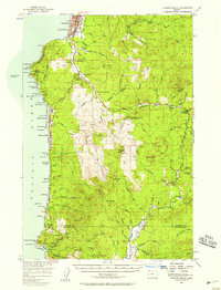
1955 Map of Cannon Beach
USGS Topo · Published 1958About this map
The coastal community of Seaside serves as the northern anchor of this mid-century Pacific shoreline survey, where the Lewis and Clark Salt Cairn Historic Marker stands near the beach as a reminder of the region's exploratory roots. Moving south along Highway 101, the landscape transitions from the developed streets of Cannon Beach and Tolovana Park to the dramatic geological formations of Tillamook Head and Ecola Point.
Find a feature on this map
106 named features on this map. Tap any name to fly to it.
Don’t see what you’re looking for? This feature index may not catch every label — zoom into the map to look around manually.
Map Details
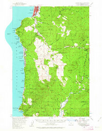
Editions of this 1955 Cannon Beach Map
2 editions found
Other maps of this area

1919 · Astoria
USGS Topo · 1:62,500

1937 · Nehalem
USGS Topo · 1:62,500

1937 · Enright
USGS Topo · 1:62,500

1939 · Astoria
USGS Topo · 1:62,500

1939 · Saddle Mountain
USGS Topo · 1:62,500

1940 · Svensen
USGS Topo · 1:62,500

1940 · Cape Falcon
USGS Topo · 1:62,500

1941 · Enright
USGS Topo · 1:62,500

1943 · Nehalem
USGS Topo · 1:62,500

1943 · Saddle Mtn.
USGS Topo · 1:62,500