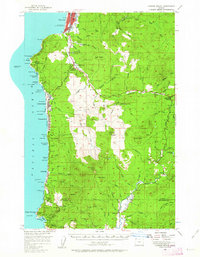
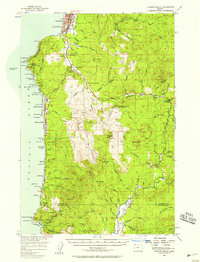
1955 Map of Cannon Beach
USGS Topo · Published 1963About this map
The Tillamook Rock Lighthouse stands offshore as a sentinel for the rugged Clatsop County coastline, which in the mid-1950s was defined by its mix of growing coastal resorts and dense timberlands. The Oregon Coast Highway serves as the primary artery connecting shoreline communities like Seaside, Cannon Beach, and Arch Cape. In Seaside, the Lewis and Clark Salt Cairn Historic Marker and Evergreen Cemetery provide localized points of historical interest, while the inland areas show a landscape managed for forestry and conservation. Significant public lands such as Ecola State Park and Oswald D West State Park preserve the dramatic geography of Tillamook Head and Cape Falcon. The map captures the inland network of the Necanicum River and its numerous forks, supporting facilities like the Fish Hatchery and the Necanicum Guard Sta.
Find a feature on this map
107 named features on this map. Tap any name to fly to it.
Don’t see what you’re looking for? This feature index may not catch every label — zoom into the map to look around manually.
Map Details
Editions of this 1955 Cannon Beach Map
2 editions found
Other maps of this area

1919 · Astoria
USGS Topo · 1:62,500

1937 · Nehalem
USGS Topo · 1:62,500

1937 · Enright
USGS Topo · 1:62,500

1939 · Astoria
USGS Topo · 1:62,500

1939 · Saddle Mountain
USGS Topo · 1:62,500

1940 · Svensen
USGS Topo · 1:62,500

1940 · Cape Falcon
USGS Topo · 1:62,500

1941 · Enright
USGS Topo · 1:62,500

1943 · Nehalem
USGS Topo · 1:62,500

1943 · Saddle Mtn.
USGS Topo · 1:62,500