Loading...
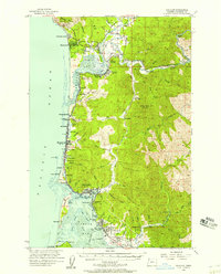
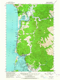
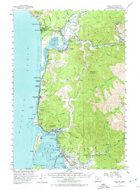
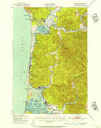
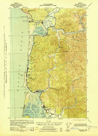
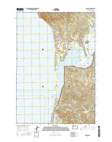
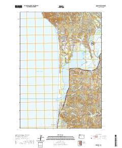
Loading map...1955 Map of Nehalem
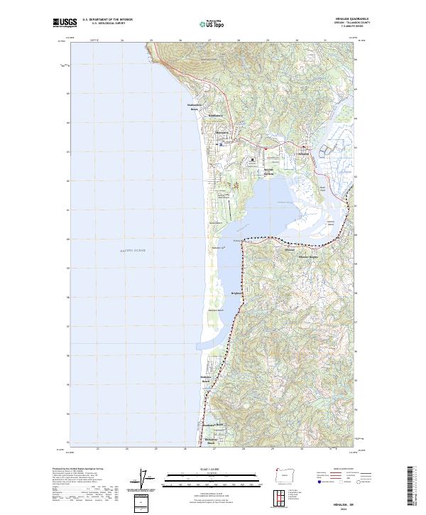
USGS Topo · Published 1957About this map
The Southern Pacific railroad hugs the rugged Oregon coastline and winds through the inland timber country in this mid-century survey. Coastal life is defined by a string of communities from Manzanita and Neahkahnie Beach in the north down to Rockaway and Garibaldi at the mouth of Tillamook Bay. The map captures a transition in the landscape where the industrial influence of timber and transport meets the burgeoning recreation era, evidenced by Oswald West State Park and the Kilchis River Recreation Area.
Find a feature on this map
95 named features on this map. Tap any name to fly to it.
Don’t see what you’re looking for? This feature index may not catch every label — zoom into the map to look around manually.
Map Details
Date Portrayed1955
Date Published1957
PublisherU.S. Geological Survey
Map TypeTopographic
Scale1:62,500
Physical Dimensions16.8 x 20.8 inches
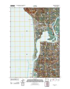
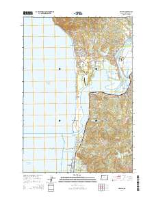
Editions of this 1955 Nehalem Map
3 editions found
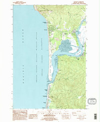
Historical Maps of Rockaway Beach Through Time
9 maps found
Featured Locations
Source Details
SourceU.S. Geological Survey
CopyrightPublic Domain