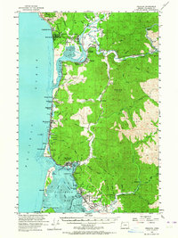
1955 Map of Nehalem
USGS Topo · Published 1964About this map
The rugged coast of northern Oregon, where the Nehalem River meets the Pacific, is defined here by a network of small coastal settlements and timber-era infrastructure. The Southern Pacific railroad snakes along the coastline and inland through Nehalem Junction and Mohler, serving the industrial and logistical needs of the mid-20th century. Near the southern edge of the survey, the community of Bayocean sits on the fragile spit protecting Tillamook Bay, a location of significant interest given its historical struggle with coastal erosion.
Find a feature on this map
85 named features on this map. Tap any name to fly to it.
Don’t see what you’re looking for? This feature index may not catch every label — zoom into the map to look around manually.
Map Details
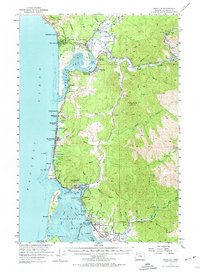
Editions of this 1955 Nehalem Map
3 editions found

Other maps of this area

1937 · Nehalem
USGS Topo · 1:62,500

1937 · Enright
USGS Topo · 1:62,500

1939 · Saddle Mountain
USGS Topo · 1:62,500

1940 · Cape Falcon
USGS Topo · 1:62,500

1941 · Enright
USGS Topo · 1:62,500

1942 · Ginger Peak
USGS Topo · 1:62,500

1942 · Tillamook
USGS Topo · 1:62,500

1943 · Nehalem
USGS Topo · 1:62,500

1943 · Saddle Mtn.
USGS Topo · 1:62,500

1948 · Vancouver
USGS Topo · 1:250,000