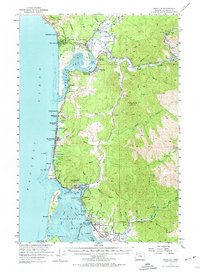
1955 Map of Nehalem
USGS Topo · Published 1974About this map
The Southern Pacific railroad hugs the coastal shelf and riverbanks in this mid-century survey, linking a string of timber and fishing settlements along the Oregon coast. From the northern heights of Oswald D West State Park and Neahkahnie Mtn, the landscape transitions into the tidal flats of Nehalem Bay, where Nehalem and Wheeler served as vital hubs. Further south, the map documents the precarious geography of Bayocean and the developing resort communities of Rockaway and Manhattan Beach. Inland, the economy is defined by the steep drainages of the Miami River and Kilchis River, supporting operations like the Nehalem Fish Hatchery. This record is particularly valuable for tracing the location of vanished local landmarks, such as the Neahkahnie School and the coastal rail sidings at Watseco and Barview before significant modern development altered the shoreline.
Find a feature on this map
79 named features on this map. Tap any name to fly to it.
Don’t see what you’re looking for? This feature index may not catch every label — zoom into the map to look around manually.
Map Details
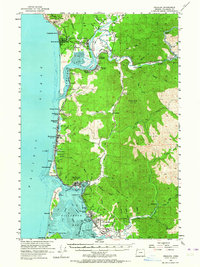
Editions of this 1955 Nehalem Map
3 editions found

Other maps of this area

1937 · Nehalem
USGS Topo · 1:62,500

1937 · Enright
USGS Topo · 1:62,500

1939 · Saddle Mountain
USGS Topo · 1:62,500

1940 · Cape Falcon
USGS Topo · 1:62,500

1941 · Enright
USGS Topo · 1:62,500

1942 · Ginger Peak
USGS Topo · 1:62,500

1942 · Tillamook
USGS Topo · 1:62,500

1943 · Nehalem
USGS Topo · 1:62,500

1943 · Saddle Mtn.
USGS Topo · 1:62,500

1948 · Vancouver
USGS Topo · 1:250,000