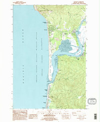
1985 Map of Nehalem
USGS Topo · Published 1995About this map
The Nehalem River meets the Pacific at a complex coastal interface where the river's mouth creates the expansive Nehalem Bay. This mid-1980s landscape shows the transition from the steep forested slopes of Neahkahnie Mtn in Oswald D West State Park down to the low-lying coastal communities of Manzanita and Neahkahnie Beach. The map details the local infrastructure of the era, from the Nehalem Bay Airstrip and the Sewage Treatment Plant near Nehalem to the jetties protecting the mouth of the bay near Brighton.
Find a feature on this map
45 named features on this map. Tap any name to fly to it.
Don’t see what you’re looking for? This feature index may not catch every label — zoom into the map to look around manually.
Map Details
Editions of this 1985 Nehalem Map
2 editions found
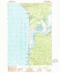
Other maps of this area

1937 · Nehalem
USGS Topo · 1:62,500

1940 · Cape Falcon
USGS Topo · 1:62,500

1943 · Nehalem
USGS Topo · 1:62,500

1948 · Vancouver
USGS Topo · 1:250,000

1950 · Vancouver
USGS Topo · 1:250,000

1950 · Vancouver
USGS Topo · 1:250,000

1955 · Nehalem
USGS Topo · 1:62,500
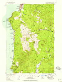
1955 · Cannon Beach
USGS Topo · 1:62,500

1958 · Vancouver
USGS Topo · 1:250,000

1964 · Vancouver
USGS Topo · 1:250,000