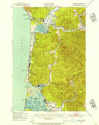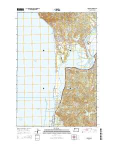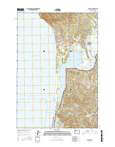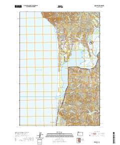
1985 Map of Nehalem
USGS Topo · Published 1985About this map
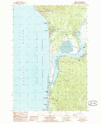
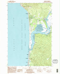
Nehalem Bay dominates this coastal landscape, where the confluence of the Nehalem River and the Pacific tide creates a complex environment of marshes and sandspits. The mid-1980s layout shows the established communities of Nehalem, Wheeler, and Manzanita serving as anchors for the region's tourism and residential life. Large protected areas like Nehalem Bay State Park and the Oregon Islands National Wildlife Refuge preserve the shoreline's character, while the Nehalem Bay Airstrip and various boat ramps underscore the area's recreational utility.
Find a feature on this map
46 named features on this map. Tap any name to fly to it.
Don’t see what you’re looking for? This feature index may not catch every label — zoom into the map to look around manually.
Map Details
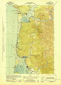
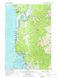
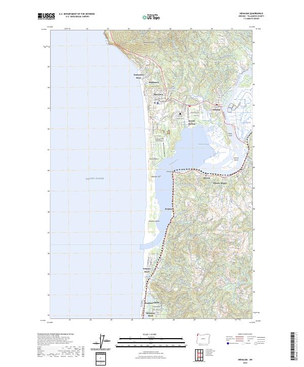
Editions of this 1985 Nehalem Map
2 editions found
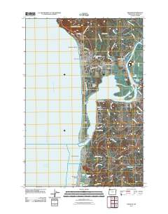
Historical Maps of Rockaway Beach Through Time
9 maps found