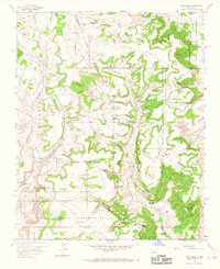
1957 Map of Arch Mesa
USGS Topo · Published 1967About this map
Laguna Indian Reservation and Canoncito Navajo Indian Reservation lands converge in this high-desert landscape, defined by a complex web of Spanish land grants and tribal boundaries. Large plateaus dominate the topography, most notably the central Arch Mesa and Herrera Mesa, which rise above a network of seasonal drainages such as Arroyo Piedra Lumbre and Arroyo de Zia. Evidence of ranching and early land use is scattered across the terrain, marked by isolated landmarks like Blackberry Windmill, Meyers Windmill, and the prominent Standing Rock formation.
Find a feature on this map
24 named features on this map. Tap any name to fly to it.
Don’t see what you’re looking for? This feature index may not catch every label — zoom into the map to look around manually.
Map Details
Editions of this 1957 Arch Mesa Map
Other maps of this area

1883 · Mt. Taylor
USGS Topo · 1:250,000

1886 · Mt. Taylor
USGS Topo · 1:250,000

1892 · Mt. Taylor
USGS Topo · 1:250,000

1899 · Mt. Taylor
USGS Topo · 1:250,000

1954 · Herrera
USGS Topo · 1:24,000

1954 · Canoncito School
USGS Topo · 1:24,000
1957 · Mesa Gigante
USGS Topo · 1:24,000

1957 · Moquino
USGS Topo · 1:24,000

1957 · Mesita
USGS Topo · 1:24,000
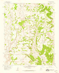
1957 · Arch Mesa
USGS Topo · 1:24,000