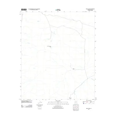
2011 Map of Arch Tank
USGS Topo · Published 2011About this map
Arch Tank Natural Bridge serves as a central geologic landmark in this arid stretch of Yuma County, surrounded by a complex system of drainage washes and water catchment basins. The landscape is defined by its hydrology, where seasonal flows across McPherson Wash and La Cholla Wash dictate the movement through the terrain. These natural water features are supplemented by numerous tanks such as Bandy Tank, Hollow Rock Tank, and Robin Tank, which represent critical infrastructure for survival and transit in the desert environment.
Find a feature on this map
14 named features on this map. Tap any name to fly to it.
Don’t see what you’re looking for? This feature index may not catch every label — zoom into the map to look around manually.
Map Details
Editions of this 2011 Arch Tank Map
This is the sole edition of this map. No revisions or reprints were ever made.
Other maps of this area

1934 · Trigo Peaks
USGS Topo · 1:48,000

1939 · Red Hill
USGS Topo · 1:62,500

1939 · Trigo Peaks
USGS Topo · 1:62,500

1942 · Blythe
USGS Topo · 1:250,000

1954 · Salton Sea
USGS Topo · 1:250,000

1954 · Red Hill
USGS Topo · 1:62,500

1954 · Trigo Peaks
USGS Topo · 1:62,500

1955 · Salton Sea
USGS Topo · 1:250,000

1959 · Salton Sea
USGS Topo · 1:250,000
1962 · Livingston Hills
USGS Topo · 1:62,500