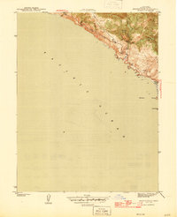
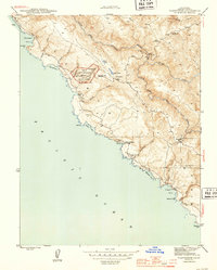
1944 Map of Arched Rock
USGS Topo · Published 1944About this map
The Pacific Ocean coastline dominates this 1940s survey, capturing the dramatic meeting of steep coastal ridges and the sea before mid-century development. High points like Little Black Mountain provide a vantage over the complex drainage systems of Russian Gulch and the three forks of a northern creek: West Branch, Middle Branch, and East Branch. The landscape here is defined by sharp elevation changes, where seasonal waterways like Timber Gulch cut through the coastal range to reach the shore.
Find a feature on this map
13 named features on this map. Tap any name to fly to it.
Don’t see what you’re looking for? This feature index may not catch every label — zoom into the map to look around manually.
Map Details
Editions of this 1944 Arched Rock Map
3 editions found
Other maps of this area

1921 · Skaggs
USGS Topo · 1:62,500

1921 · Plantation
USGS Topo · 1:62,500

1942 · Bodega Head
USGS Topo · 1:24,000

1942 · Arched Rock
USGS Topo · 1:24,000

1943 · Plantation
USGS Topo · 1:24,000

1943 · Cazadero
USGS Topo · 1:24,000

1943 · Duncans Mills
USGS Topo · 1:24,000

1943 · Fort Ross
USGS Topo · 1:24,000
1944 · Fort Ross
USGS Topo · 1:31,680
1944 · Plantation
USGS Topo · 1:31,680