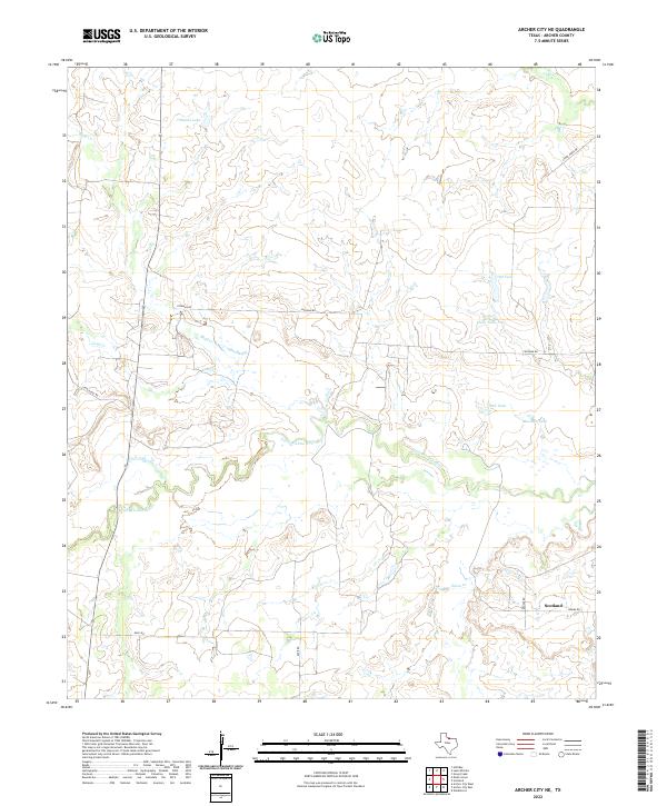
2022 Map of Archer City NE
USGS Topo · Published 2022About this map
Scotland sits at the southeastern corner of this North Texas quadrangle, where the rolling ranchlands of Archer County are deeply etched by the meandering Little Wichita River. The landscape is characterized by its hydrological network, with various small tanks such as Mexican Tank, Clear Tank, and Red Tank serving as essential watering points across the prairie. The river is fed by several tributaries including Bluff Cr, Onion Cr, and Long Cr, which drain the surrounding terrain.
Find a feature on this map
17 named features on this map. Tap any name to fly to it.
Don’t see what you’re looking for? This feature index may not catch every label — zoom into the map to look around manually.
Map Details
Editions of this 2022 Archer City NE Map
This is the sole edition of this map. No revisions or reprints were ever made.
Other maps of this area

1931 · Archer City
USGS Topo · 1:62,500

1954 · Wichita Falls
USGS Topo · 1:250,000

1956 · Sloop Creek
USGS Topo · 1:24,000

1956 · Lake Wichita
USGS Topo · 1:24,000

1957 · Wichita Falls East
USGS Topo · 1:62,500

1957 · Wichita Falls West
USGS Topo · 1:62,500

1958 · Wichita Falls
USGS Topo · 1:250,000

1962 · Windthorst
USGS Topo · 1:24,000

1963 · Scotland
USGS Topo · 1:24,000
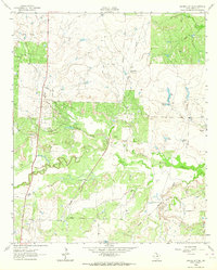
1963 · Archer City NE
USGS Topo · 1:24,000