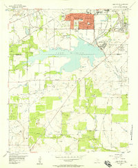
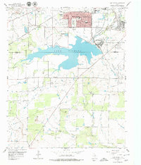
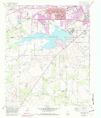
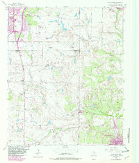
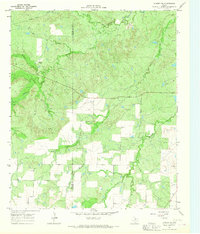
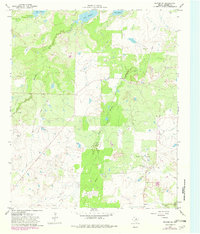
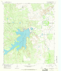
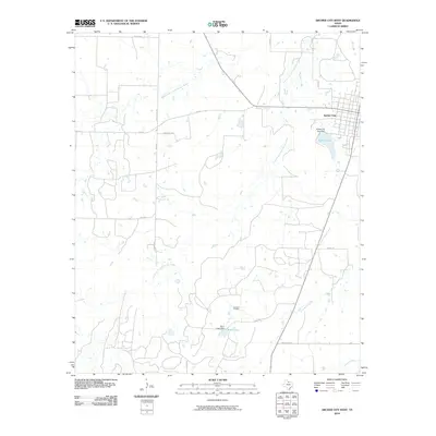
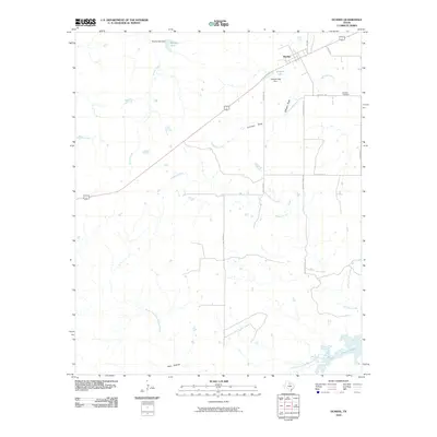
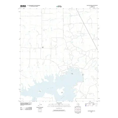
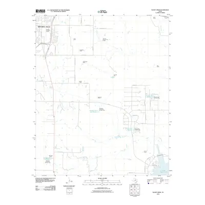
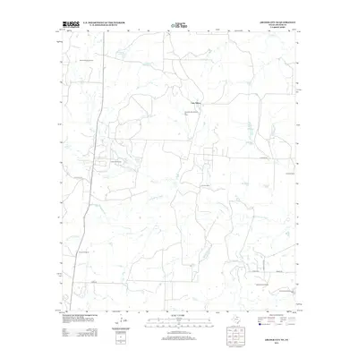
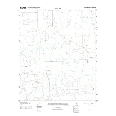
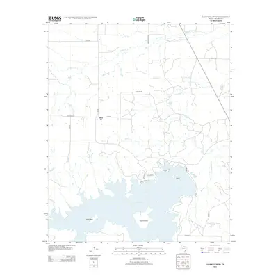
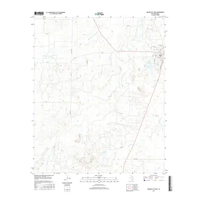
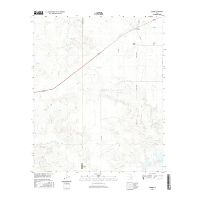
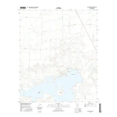
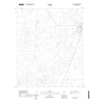
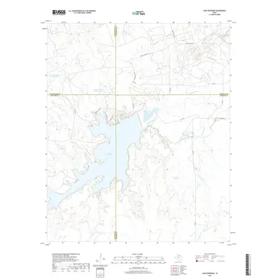
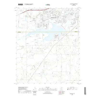
1956 Map of Lake Wichita
USGS Topo · Published 1958About this map
The southern residential expansion of Wichita Falls meets the northern reaches of the Hull-Silk oil field in this mid-century survey. Dominating the central landscape is Lake Wichita, bordered by the sprawling grounds of the Wichita Falls State Hospitals and the developing campus of Midwestern University. The infrastructure of the era is clearly visible through the Fort Worth and Denver (Burlington) railroad lines and the extensive network of oil wells and pipelines that define the local economy.
Find a feature on this map
36 named features on this map. Tap any name to fly to it.
Don’t see what you’re looking for? This feature index may not catch every label — zoom into the map to look around manually.
Map Details
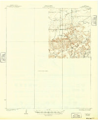
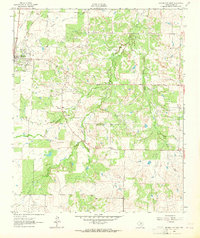
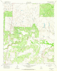
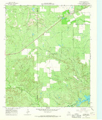
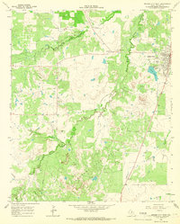
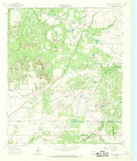
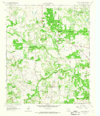
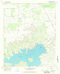
Editions of this 1956 Lake Wichita Map
3 editions found
Historical Maps of Wichita Falls Through Time
97 maps found
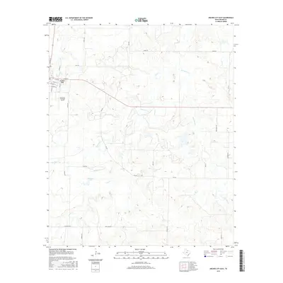
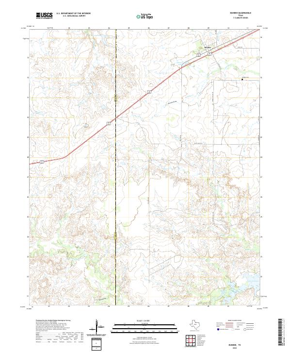
1932 Dundee
Archer County, TX
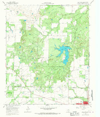
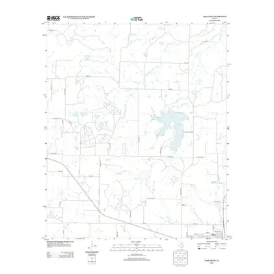
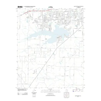
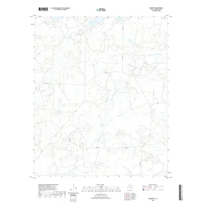
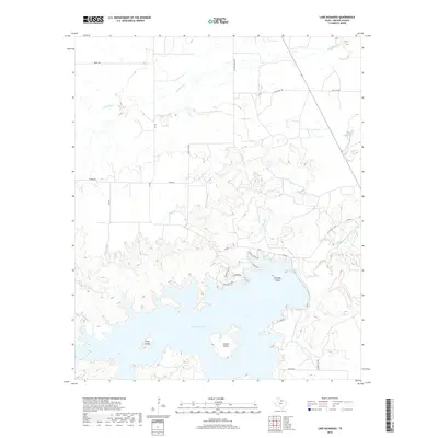
1956 Lake Wichita
Archer County, TX
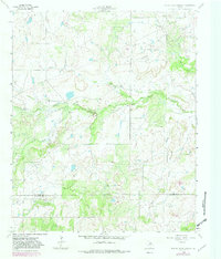
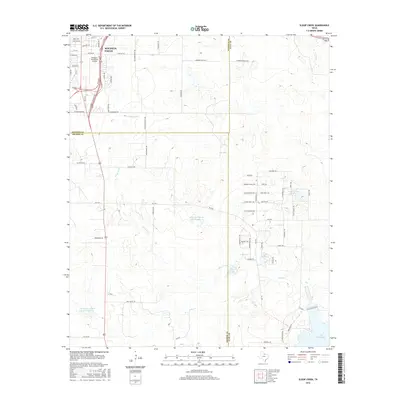
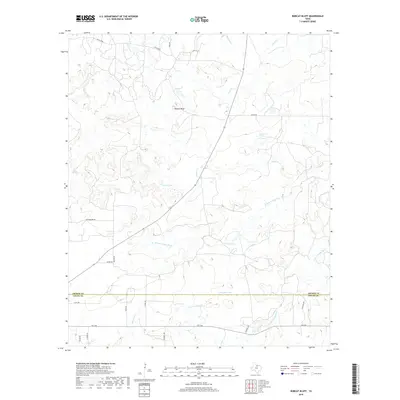
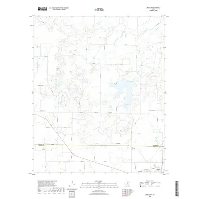
1956 Sloop Creek
Archer County, TX
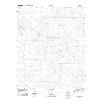
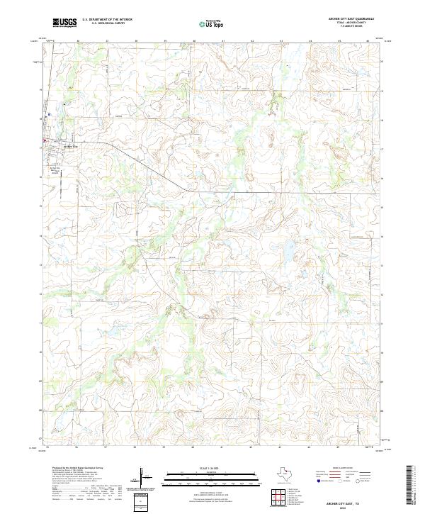
1963 Archer City East
Archer County, TX
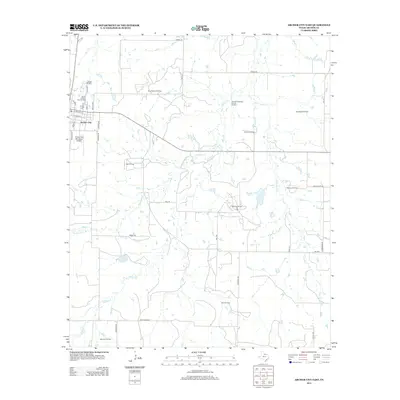
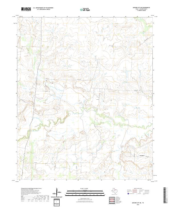
1963 Archer City NE
Archer County, TX
1963 Dundee
Archer County, TX
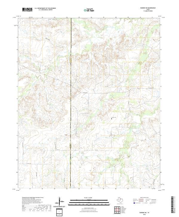
1963 Dundee SW
Archer County, TX
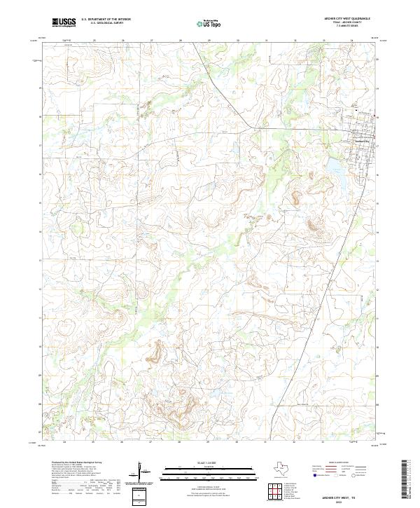
1964 Archer City West
Archer County, TX
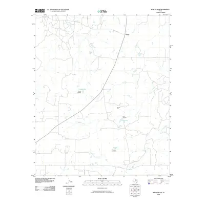
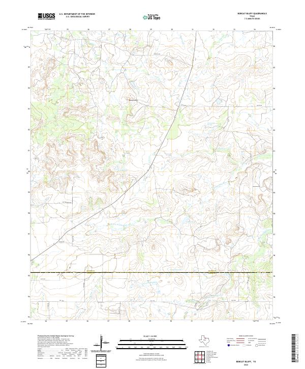
1964 Bobcat Bluff
Archer County, TX
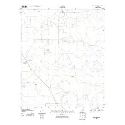
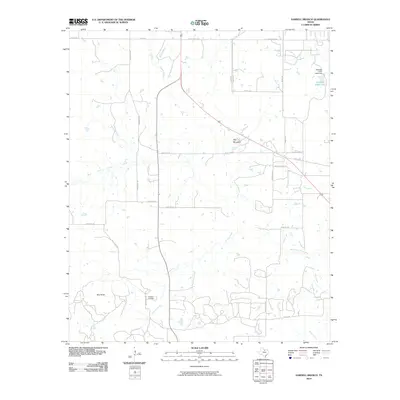
1964 Darnell Branch
Archer County, TX
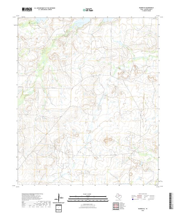
1964 Dundee SE
Archer County, TX
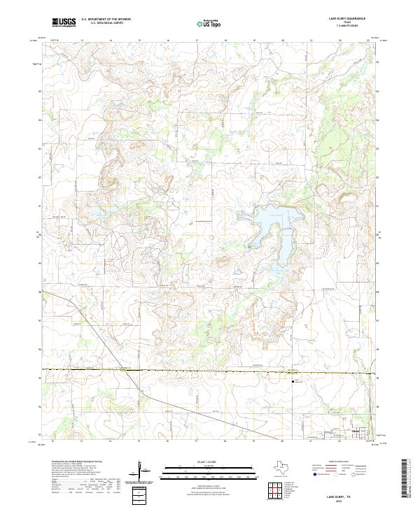
1964 Lake Olney
Archer County, TX
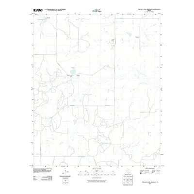
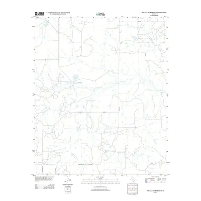
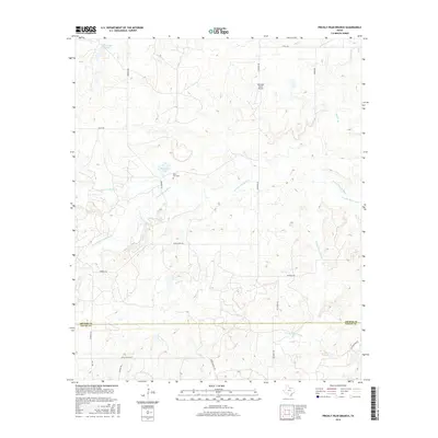
1964 Prickly Pear Branch
Archer County, TX
1966 Dads Corner
Archer County, TX
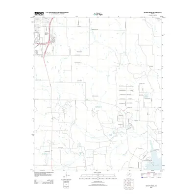
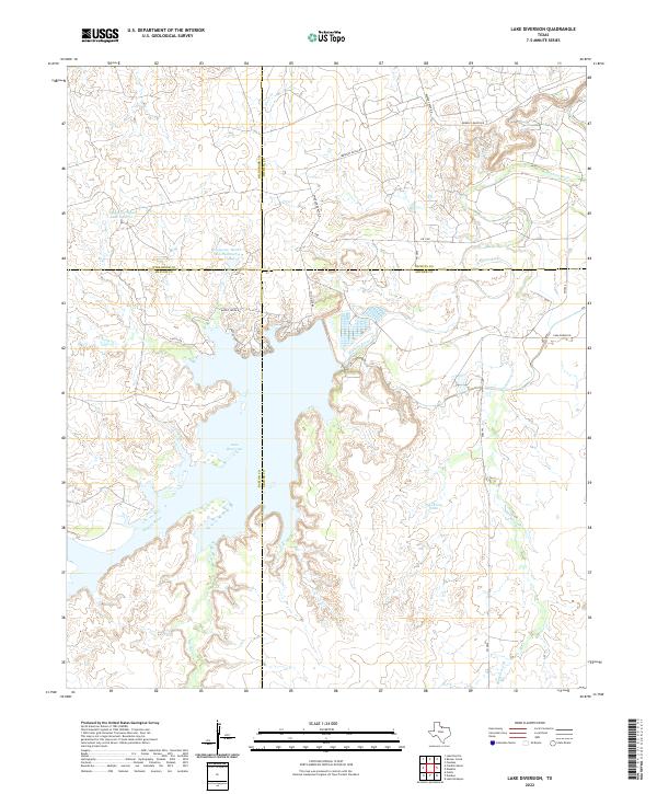
1966 Lake Diversion
Archer County, TX
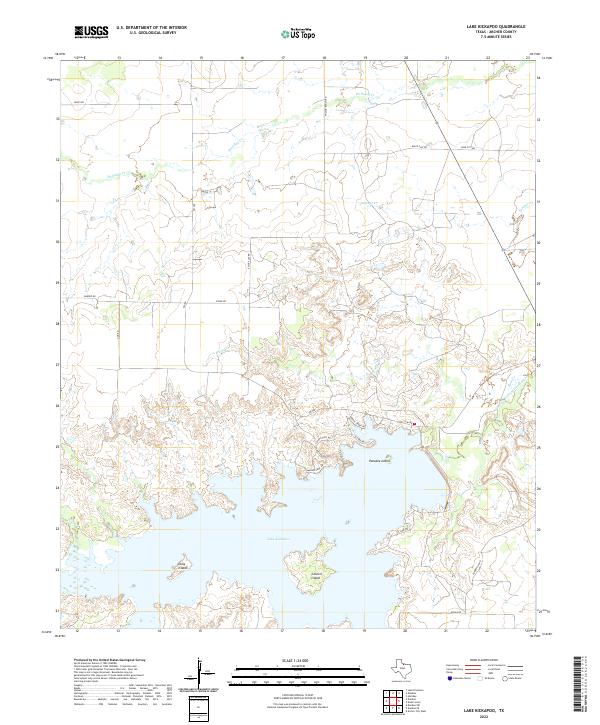
1966 Lake Kickapoo
Archer County, TX
1966 Mankins
Archer County, TX
2010 Archer City NE
Archer County, TX
2010 Archer City West
Archer County, TX
2010 Bobcat Bluff
Archer County, TX
2010 Dads Corner
Archer County, TX
2010 Darnell Branch
Archer County, TX
2010 Dundee
Archer County, TX
2010 Dundee SE
Archer County, TX
2010 Dundee SW
Archer County, TX
2010 Lake Diversion
Archer County, TX
2010 Lake Kickapoo
Archer County, TX
2010 Lake Olney
Archer County, TX
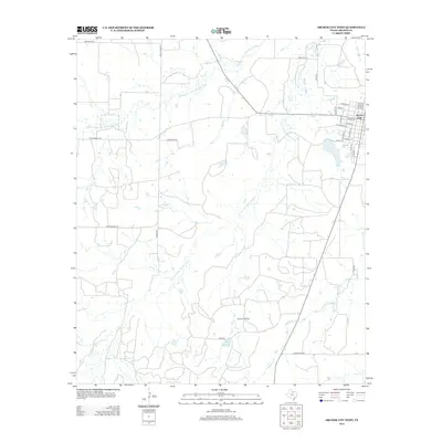
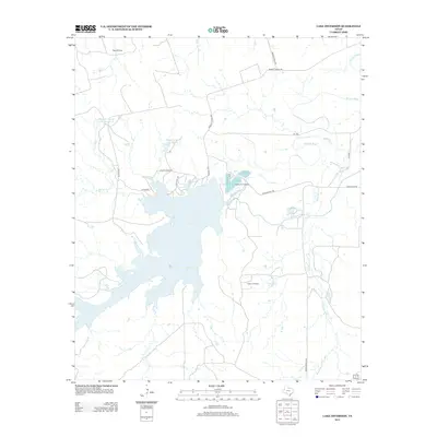
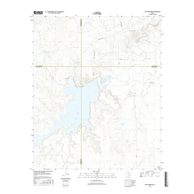
2010 Lake Wichita
Archer County, TX
2010 Mankins
Archer County, TX
2010 Prickly Pear Branch
Archer County, TX
2010 Sloop Creek
Archer County, TX
2011 Archer City East
Archer County, TX
2012 Archer City East
Archer County, TX
2012 Archer City NE
Archer County, TX
2012 Archer City West
Archer County, TX
2012 Bobcat Bluff
Archer County, TX
2012 Dads Corner
Archer County, TX
2012 Darnell Branch
Archer County, TX
2012 Dundee
Archer County, TX
2012 Dundee SE
Archer County, TX
2012 Dundee SW
Archer County, TX
2012 Lake Kickapoo
Archer County, TX
2012 Lake Olney
Archer County, TX
2012 Lake Wichita
Archer County, TX
2012 Mankins
Archer County, TX
2012 Prickly Pear Branch
Archer County, TX
2012 Sloop Creek
Archer County, TX
2013 Lake Diversion
Archer County, TX
2016 Archer City East
Archer County, TX

2016 Archer City NE
Archer County, TX
2016 Archer City West
Archer County, TX
2016 Bobcat Bluff
Archer County, TX
2016 Dads Corner
Archer County, TX
2016 Darnell Branch
Archer County, TX
2016 Dundee
Archer County, TX
2016 Dundee SE
Archer County, TX
2016 Dundee SW
Archer County, TX
2016 Lake Diversion
Archer County, TX
2016 Lake Kickapoo
Archer County, TX
2016 Lake Olney
Archer County, TX
2016 Lake Wichita
Archer County, TX
2016 Mankins
Archer County, TX
2016 Prickly Pear Branch
Archer County, TX
2016 Sloop Creek
Archer County, TX
2019 Archer City East
Archer County, TX
2019 Archer City NE
Archer County, TX
2019 Archer City West
Archer County, TX
2019 Bobcat Bluff
Archer County, TX
2019 Dads Corner
Archer County, TX
2019 Darnell Branch
Archer County, TX

2019 Dundee
Archer County, TX
2019 Dundee SE
Archer County, TX

2019 Dundee SW
Archer County, TX
2019 Lake Diversion
Archer County, TX
2019 Lake Kickapoo
Archer County, TX
2019 Lake Olney
Archer County, TX
2019 Lake Wichita
Archer County, TX
2019 Mankins
Archer County, TX
2019 Prickly Pear Branch
Archer County, TX
2019 Sloop Creek
Archer County, TX
2022 Archer City East
Archer County, TX
2022 Archer City NE
Archer County, TX
2022 Archer City West
Archer County, TX
2022 Bobcat Bluff
Archer County, TX
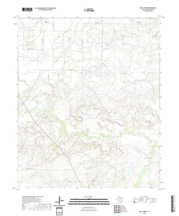
2022 Dads Corner
Archer County, TX
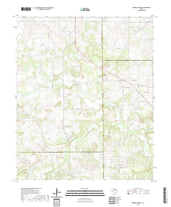
2022 Darnell Branch
Archer County, TX
2022 Dundee
Archer County, TX
2022 Dundee SE
Archer County, TX
2022 Dundee SW
Archer County, TX
2022 Lake Diversion
Archer County, TX
2022 Lake Kickapoo
Archer County, TX
2022 Lake Olney
Archer County, TX

2022 Lake Wichita
Archer County, TX
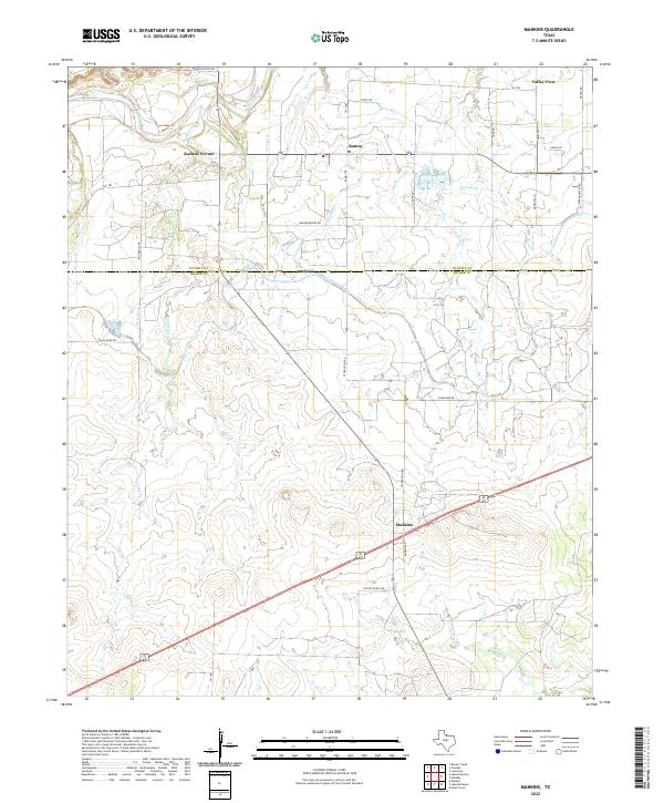
2022 Mankins
Archer County, TX
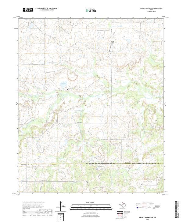
2022 Prickly Pear Branch
Archer County, TX
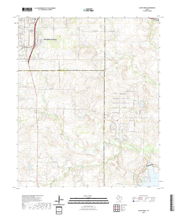
2022 Sloop Creek
Archer County, TX