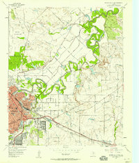
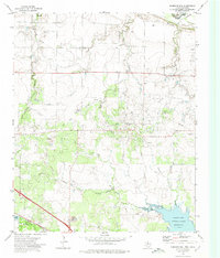
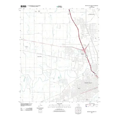
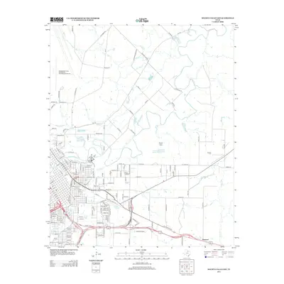
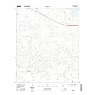
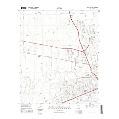
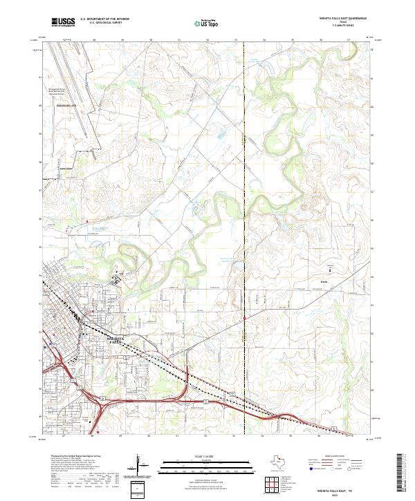
1957 Map of Wichita Falls East
USGS Topo · Published 1958About this map
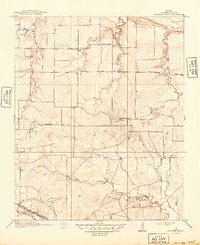
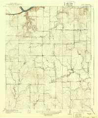
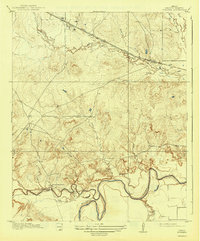
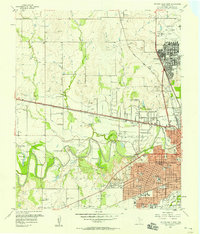
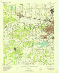
Wichita Falls expands eastward in the late 1950s, bounded by the complex meanders of the Wichita River and a dense network of irrigation infrastructure including the W J Four Lateral Ditch and the Side Canal. This period of growth is evident in the concentration of educational facilities like Bowie Sch, Lamar Sch, and Carrigan Sch within the urban grid. The northwestern quadrant is dominated by the sprawling footprint of Sheppard Air Force Base, while the eastern landscape transitions into large cattle operations such as 77 Ranch and Hammon Ranch. A sophisticated rail network services the region, featuring the Missouri Kansas and Texas and the Burlington Denver lines. Local industry is clearly defined through numerous Oil Wells, Gravel Pits, and a large Filtration Plant, reflecting the mid-century intersection of military presence, petroleum extraction, and municipal development.
Find a feature on this map
53 named features on this map. Tap any name to fly to it.
Don’t see what you’re looking for? This feature index may not catch every label — zoom into the map to look around manually.
Map Details
Editions of this 1957 Wichita Falls East Map
This is the sole edition of this map. No revisions or reprints were ever made.
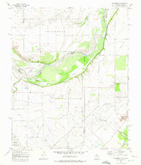
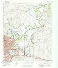
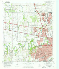
Historical Maps of Wichita Falls Through Time
53 maps found
1915 Barwise School
Wichita County, TX

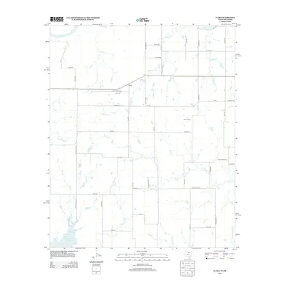
1915 Clara
Wichita County, TX
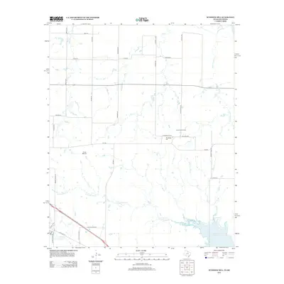
1916 Fowlkes
Wichita County, TX
1917 Beaver Creek
Wichita County, TX
1918 Barwise School
Wichita County, TX
1918 Clara
Wichita County, TX
1919 Fowlkes
Wichita County, TX

1920 Beaver Creek
Wichita County, TX
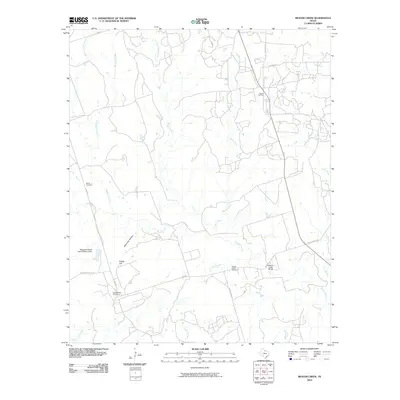
1957 Wichita Falls East
Wichita County, TX
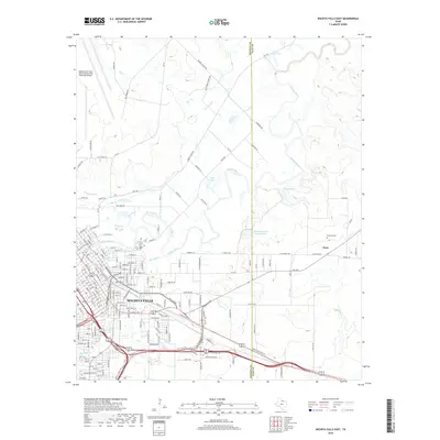
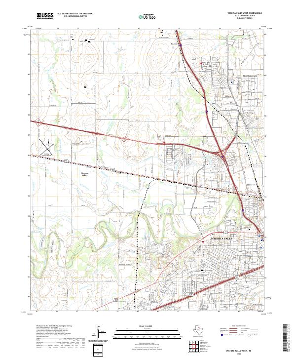
1957 Wichita Falls West
Wichita County, TX
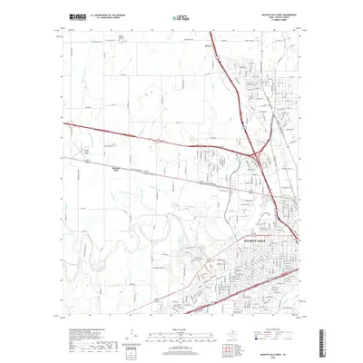
1957 Wichita Falls West
Wichita County, TX
1968 Beaver Creek
Wichita County, TX
1968 Fowlkes
Wichita County, TX
1972 Clara
Wichita County, TX
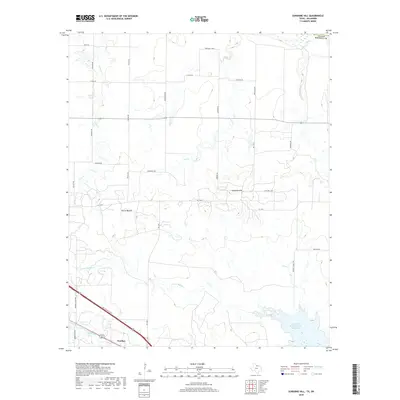
1972 Sunshine Hill
Wichita County, TX
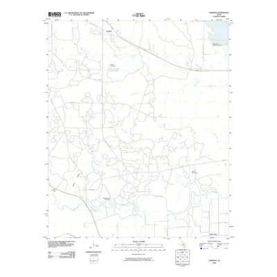
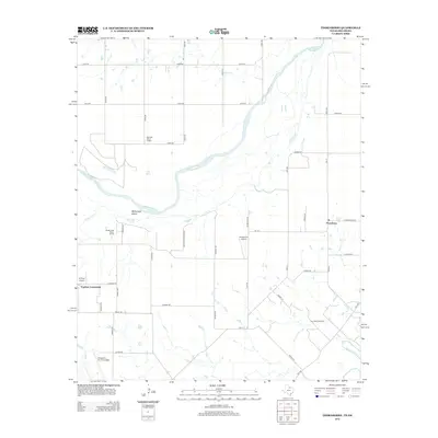
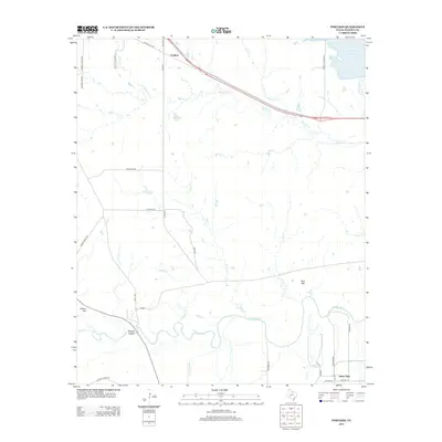
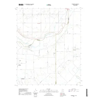
1972 Thornberry
Wichita County, TX
1972 Wichita Falls East
Wichita County, TX
1972 Wichita Falls West
Wichita County, TX
2010 Beaver Creek
Wichita County, TX
2010 Fowlkes
Wichita County, TX
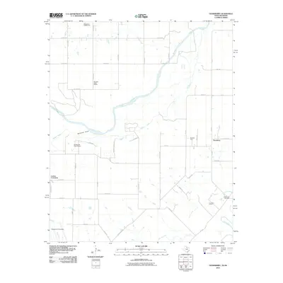
2010 Thornberry
Wichita County, TX
2010 Wichita Falls East
Wichita County, TX
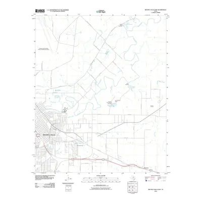
2010 Wichita Falls West
Wichita County, TX
2011 Clara
Wichita County, TX
2011 Sunshine Hill
Wichita County, TX
2012 Beaver Creek
Wichita County, TX
2012 Clara
Wichita County, TX
2012 Sunshine Hill
Wichita County, TX
2012 Thornberry
Wichita County, TX
2013 Fowlkes
Wichita County, TX
2013 Wichita Falls East
Wichita County, TX
2013 Wichita Falls West
Wichita County, TX
2016 Beaver Creek
Wichita County, TX
2016 Clara
Wichita County, TX
2016 Fowlkes
Wichita County, TX
2016 Sunshine Hill
Wichita County, TX
2016 Thornberry
Wichita County, TX
2016 Wichita Falls East
Wichita County, TX
2016 Wichita Falls West
Wichita County, TX
2019 Beaver Creek
Wichita County, TX
2019 Clara
Wichita County, TX
2019 Fowlkes
Wichita County, TX
2019 Sunshine Hill
Wichita County, TX
2019 Thornberry
Wichita County, TX
2019 Wichita Falls East
Wichita County, TX
2019 Wichita Falls West
Wichita County, TX
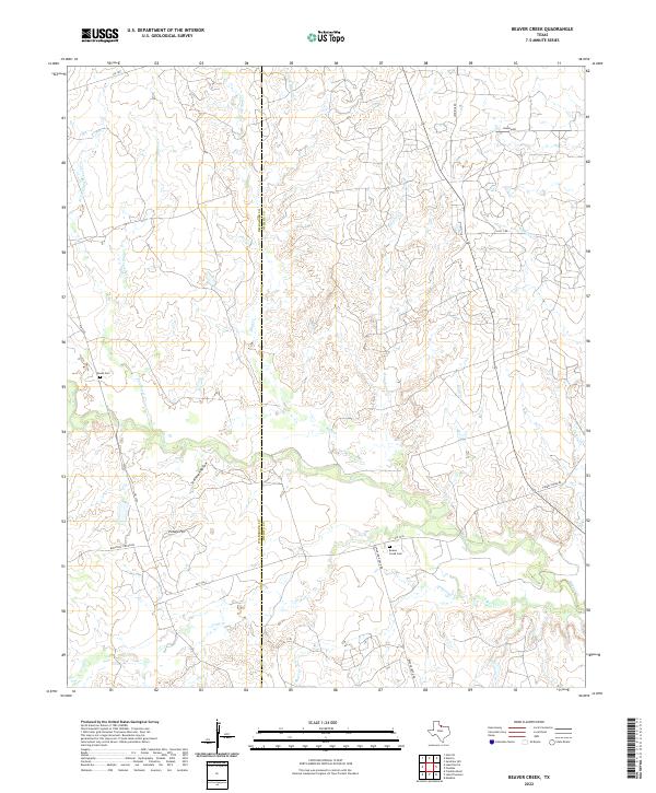
2022 Beaver Creek
Wichita County, TX
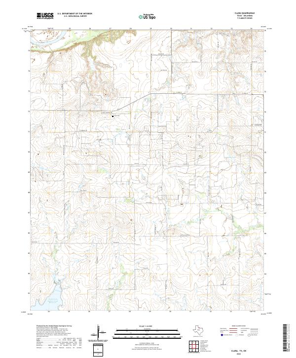
2022 Clara
Wichita County, TX
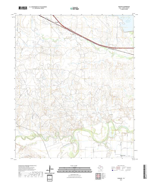
2022 Fowlkes
Wichita County, TX
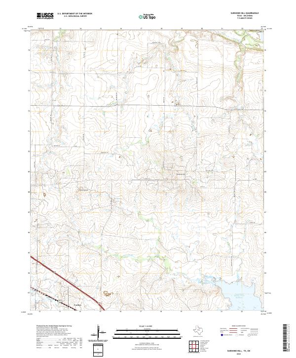
2022 Sunshine Hill
Wichita County, TX
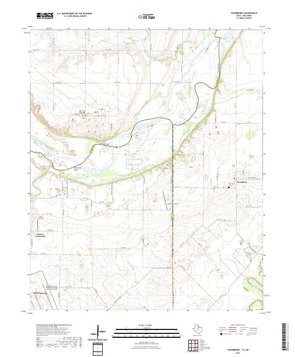
2022 Thornberry
Wichita County, TX
2022 Wichita Falls East
Wichita County, TX
2022 Wichita Falls West
Wichita County, TX