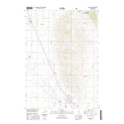
2017 Map of Arco North
USGS Topo · Published 2017About this map
Arco sits at the southern edge of this Idaho landscape, where the Big Lost River Valley meets the rising slopes of the Challis National Forest. The geography is defined by a sophisticated network of irrigation systems necessary for high-desert agriculture, including the Island Ditch, Lower Blaine Canal, and Arco Canal. These man-made features diverted water from the Big Lost River to support small agricultural settlements like Moore and Lost River.
Find a feature on this map
44 named features on this map. Tap any name to fly to it.
Don’t see what you’re looking for? This feature index may not catch every label — zoom into the map to look around manually.
Map Details
Editions of this 2017 Arco North Map
This is the sole edition of this map. No revisions or reprints were ever made.
Other maps of this area

1955 · Idaho Falls
USGS Topo · 1:250,000

1958 · Idaho Falls
USGS Topo · 1:250,000

1969 · Darlington
USGS Topo · 1:24,000

1969 · Arco Pass
USGS Topo · 1:24,000

1969 · Ramshorn Canyon
USGS Topo · 1:24,000

1972 · Arco North
USGS Topo · 1:24,000

1972 · Arco South
USGS Topo · 1:24,000

1972 · Butte City
USGS Topo · 1:24,000

1972 · Nichols Reservoir
USGS Topo · 1:24,000

1972 · Arco Hills
USGS Topo · 1:24,000