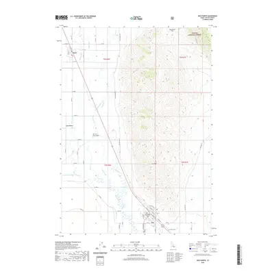
2020 Map of Arco North
USGS Topo · Published 2020About this map
Arco serves as a critical geographic anchor at the southern edge of this Idaho survey, where the Butte County Courthouse marks the local seat of government. The landscape is defined by the transition from the high elevations of the Challis National Forest and Arco Peak to the agricultural expanses of the Big Lost River Valley. Water management is central to the valley's development, evidenced by an intricate network of irrigation features including the Island Ditch, Arco Canal, and Lower Blaine Canal. These systems divert water from the Big Lost River to support the surrounding settlements of Moore and Lost River. In the rugged northern terrain, landmarks such as Beaverland Pass and a Natural Arch underscore the area's geological character, while the presence of Hillcrest Cem near the town center provides a point of interest for genealogical research.
Find a feature on this map
41 named features on this map. Tap any name to fly to it.
Don’t see what you’re looking for? This feature index may not catch every label — zoom into the map to look around manually.
Map Details
Editions of this 2020 Arco North Map
This is the sole edition of this map. No revisions or reprints were ever made.
Other maps of this area

1955 · Idaho Falls
USGS Topo · 1:250,000

1958 · Idaho Falls
USGS Topo · 1:250,000

1969 · Darlington
USGS Topo · 1:24,000

1969 · Arco Pass
USGS Topo · 1:24,000

1969 · Ramshorn Canyon
USGS Topo · 1:24,000

1972 · Arco North
USGS Topo · 1:24,000

1972 · Arco South
USGS Topo · 1:24,000

1972 · Butte City
USGS Topo · 1:24,000

1972 · Nichols Reservoir
USGS Topo · 1:24,000

1972 · Arco Hills
USGS Topo · 1:24,000