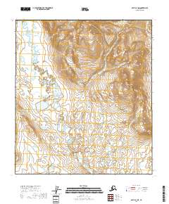
2018 Map of Arctic B-1 NE
USGS Topo · Published 2018About this map
Old Woman Creek meanders through the expansive terrain of the Yukon-Koyukuk Census Area, defining the drainage patterns of this subarctic landscape. The topography is dominated by the prominent elevation of Brushman Mtn in the northeast and its smaller counterpart, Little Brushman, to the southeast. These peaks serve as primary landmarks in an area otherwise characterized by its intricate network of seasonal wetlands and stream channels. This 2018 survey reveals a territory devoid of permanent settlements or roads, where the natural contours and water systems remain the primary features of interest for those studying the remote geography of interior Alaska.
Find a feature on this map
10 named features on this map. Tap any name to fly to it.
Don’t see what you’re looking for? This feature index may not catch every label — zoom into the map to look around manually.
Map Details
Editions of this 2018 Arctic B-1 NE Map
This is the sole edition of this map. No revisions or reprints were ever made.
Other maps of this area

1951 · Arctic
USGS Topo · 1:250,000

1951 · Table Mountain
USGS Topo · 1:250,000

1956 · Table Mountain
USGS Topo · 1:250,000

1956 · Arctic
USGS Topo · 1:250,000

1964 · Table Mountain
USGS Topo · 1:250,000
1972 · Table Mountain B-5
USGS Topo · 1:63,360
1983 · Arctic C-1
USGS Topo · 1:63,360
1983 · Table Mountain C-5
USGS Topo · 1:63,360
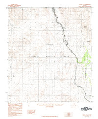
1983 · Arctic B-1
USGS Topo · 1:63,360
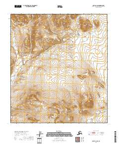
2018 · Arctic B-1 SW
USGS Topo · 1:25,000