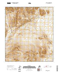
2018 Map of Arctic B-1 SW
USGS Topo · Published 2018About this map
The Koness River winds through the northwestern corner of this territory, marking one of the few named topographical features in an expanse defined by high elevations and steep contour intervals. Located in the Yukon-Koyukuk Census Area, the landscape is organized by the Public Land Survey System, with the map clearly delineating the boundaries of several townships, including t12s r33e, t13s r33e, and t14s r33e. The tight spacing of the contours across the quadrangle indicates a terrain of significant relief, where drainage patterns from the peaks feed into the river system. This survey provides a precise record of the remote interior geography as it was documented in 2018.
Find a feature on this map
7 named features on this map. Tap any name to fly to it.
Don’t see what you’re looking for? This feature index may not catch every label — zoom into the map to look around manually.
Map Details
Editions of this 2018 Arctic B-1 SW Map
This is the sole edition of this map. No revisions or reprints were ever made.
Other maps of this area

1951 · Arctic
USGS Topo · 1:250,000

1956 · Arctic
USGS Topo · 1:250,000
1972 · Arctic A-1
USGS Topo · 1:63,360

1972 · Arctic A-2
USGS Topo · 1:63,360

1983 · Arctic B-2
USGS Topo · 1:63,360
1983 · Arctic B-1
USGS Topo · 1:63,360
2018 · Arctic B-1 NE
USGS Topo · 1:25,000
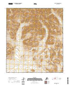
2018 · Arctic B-2 NE
USGS Topo · 1:25,000
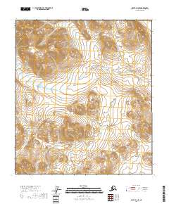
2018 · Arctic B-1 NW
USGS Topo · 1:25,000
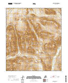
2018 · Arctic B-2 SE
USGS Topo · 1:25,000