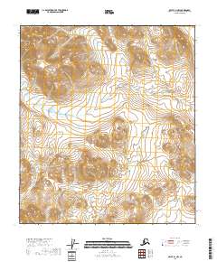
2018 Map of Arctic B-1 NW
USGS Topo · Published 2018About this map
The interior of the Yukon-Koyukuk Census Area reveals a northern landscape defined by significant elevation changes and the precision of the Public Land Survey System. This 2018 survey focuses on the intersection of four townships, including t11s r32e, t11s r33e, t12s r32e, and t12s r33e. Without named settlements or roads, the map highlights the natural topography of the Arctic region, where contour lines delineate high ridges and deep drainage patterns. The absence of human-named landmarks emphasizes the area's role as part of a managed federal landscape, monitored by agencies like the U.S. Geological Survey and the Bureau of Land Management to track hydrological and environmental changes over time.
Find a feature on this map
5 named features on this map. Tap any name to fly to it.
Don’t see what you’re looking for? This feature index may not catch every label — zoom into the map to look around manually.
Map Details
Editions of this 2018 Arctic B-1 NW Map
This is the sole edition of this map. No revisions or reprints were ever made.
Other maps of this area

1951 · Arctic
USGS Topo · 1:250,000

1956 · Arctic
USGS Topo · 1:250,000
1983 · Arctic C-1
USGS Topo · 1:63,360

1983 · Arctic B-2
USGS Topo · 1:63,360

1983 · Arctic C-2
USGS Topo · 1:63,360
1983 · Arctic B-1
USGS Topo · 1:63,360
2018 · Arctic B-1 NE
USGS Topo · 1:25,000
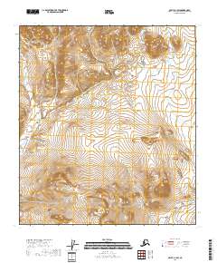
2018 · Arctic B-1 SW
USGS Topo · 1:25,000
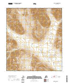
2018 · Arctic C-1 SW
USGS Topo · 1:25,000
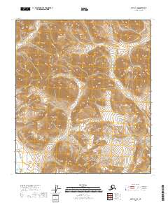
2018 · Arctic C-1 SE
USGS Topo · 1:25,000