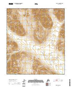
2018 Map of Arctic C-1 SW
USGS Topo · Published 2018About this map
Old Woman Creek meanders through this portion of the North Slope Borough, defining the drainage patterns of an uninhabited landscape. This 2018 survey reveals a terrain dominated by significant elevation changes, where contour lines tightly cluster around unnamed peaks and ridges. The waterway of Old Woman Creek serves as the primary geographical anchor for the quadrangle, weaving through the valleys between high-altitude summits. The lack of man-made structures or named settlements reflects the remote character of this region of Alaska, focusing instead on the hydrography and the complex topography of the Brooks Range foothills. The map provides precise detail for those tracking geological formations or the natural flow of the North Slope's watershed systems.
Find a feature on this map
8 named features on this map. Tap any name to fly to it.
Don’t see what you’re looking for? This feature index may not catch every label — zoom into the map to look around manually.
Map Details
Editions of this 2018 Arctic C-1 SW Map
This is the sole edition of this map. No revisions or reprints were ever made.
Other maps of this area

1951 · Arctic
USGS Topo · 1:250,000

1956 · Arctic
USGS Topo · 1:250,000
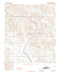
1983 · Arctic C-1
USGS Topo · 1:63,360

1983 · Arctic B-2
USGS Topo · 1:63,360

1983 · Arctic C-2
USGS Topo · 1:63,360
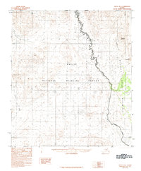
1983 · Arctic B-1
USGS Topo · 1:63,360
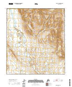
2018 · Arctic B-1 NE
USGS Topo · 1:25,000
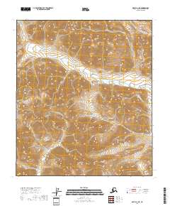
2018 · Arctic C-1 NE
USGS Topo · 1:25,000
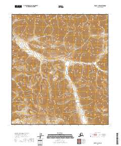
2018 · Arctic C-1 NW
USGS Topo · 1:25,000
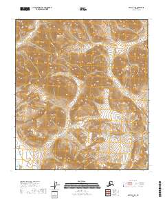
2018 · Arctic C-1 SE
USGS Topo · 1:25,000