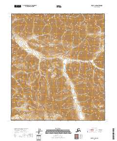
2018 Map of Arctic C-1 NW
USGS Topo · Published 2018About this map
The North Slope's high-latitude terrain is defined here by the winding course of Old Woman Cr, which cuts through a landscape of extreme topographic relief. Published in 2018, this 1:25,000 scale survey by the U.S. Geological Survey documents the intricate drainage patterns and steep contour gradients characteristic of the Arctic wilderness. Unlike many developed regions, the area is notably devoid of human settlements, roads, or named structures, reflecting its status as a preserved and largely untouched environment within the North Slope Borough. The map's data, sourced from 2010 SPOT imagery and 2018 elevation datasets, provides an exact record of the physical geography before any further environmental or climatic shifts might alter the hydrology of Old Woman Cr.
Find a feature on this map
5 named features on this map. Tap any name to fly to it.
Don’t see what you’re looking for? This feature index may not catch every label — zoom into the map to look around manually.
Map Details
Editions of this 2018 Arctic C-1 NW Map
This is the sole edition of this map. No revisions or reprints were ever made.
Other maps of this area

1951 · Arctic
USGS Topo · 1:250,000

1956 · Arctic
USGS Topo · 1:250,000
1983 · Arctic C-1
USGS Topo · 1:63,360
1983 · Arctic D-2
USGS Topo · 1:63,360

1983 · Arctic C-2
USGS Topo · 1:63,360
1983 · Arctic D-1
USGS Topo · 1:63,360
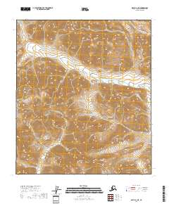
2018 · Arctic C-1 NE
USGS Topo · 1:25,000
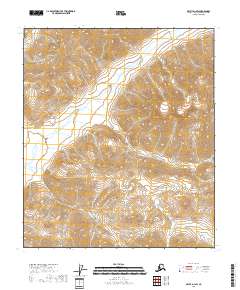
2018 · Arctic D-1 SW
USGS Topo · 1:25,000
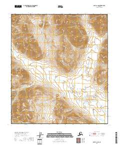
2018 · Arctic C-1 SW
USGS Topo · 1:25,000
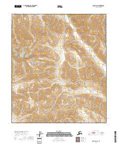
2018 · Arctic D-1 SE
USGS Topo · 1:25,000