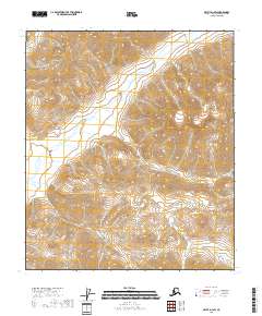
2018 Map of Arctic D-1 SW
USGS Topo · Published 2018About this map
The East Fork Chandalar River winds through this northern landscape, forming the primary drainage system in a region defined by high-elevation terrain and steep contour gradients. This 2018 survey covers a remote portion of the North Slope Borough, illustrating the complex hydrology where mountain headwaters feed into the broader river valley. The map is largely structured by the Public Land Survey System, showing the intersections of T6s R33e, T7s R32e, and surrounding townships. Without roads or established settlements, the map provides a precise look at the natural topography and undisturbed watershed as it existed in the early 21st century. It is a essential resource for understanding the physical geography of this subarctic wilderness before future environmental shifts.
Find a feature on this map
6 named features on this map. Tap any name to fly to it.
Don’t see what you’re looking for? This feature index may not catch every label — zoom into the map to look around manually.
Map Details
Editions of this 2018 Arctic D-1 SW Map
This is the sole edition of this map. No revisions or reprints were ever made.
Other maps of this area

1951 · Arctic
USGS Topo · 1:250,000

1956 · Arctic
USGS Topo · 1:250,000
1983 · Arctic C-1
USGS Topo · 1:63,360
1983 · Arctic D-2
USGS Topo · 1:63,360

1983 · Arctic C-2
USGS Topo · 1:63,360
1983 · Arctic D-1
USGS Topo · 1:63,360
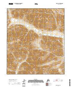
2018 · Arctic C-1 NE
USGS Topo · 1:25,000
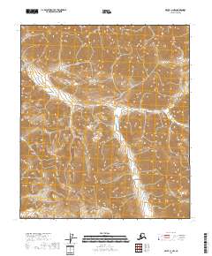
2018 · Arctic C-1 NW
USGS Topo · 1:25,000
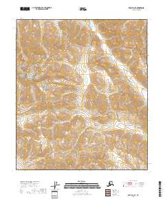
2018 · Arctic D-1 SE
USGS Topo · 1:25,000
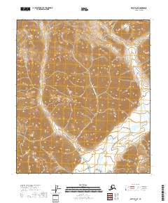
2018 · Arctic D-2 SE
USGS Topo · 1:25,000