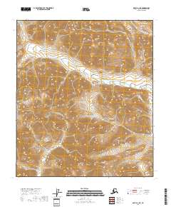
2018 Map of Arctic C-1 NE
USGS Topo · Published 2018About this map
The T8s R34e and T9s R34e survey blocks dominate this high-latitude terrain within the North Slope Borough. This 2018 topographic study, produced by the U.S. Geological Survey, illustrates a landscape defined by sharp elevation shifts and complex drainage patterns. The lack of named roads, settlements, or structures indicates a primarily untouched wilderness area managed by the Bureau of Land Management, where the Public Land Survey System serves as the primary identifier for geographic location. The map provides precise contour data for the drainages and ridges throughout T8s R33e and extending into T9s R35e. For researchers of the Arctic wilderness, this sheet represents a modern baseline of the physical geography before further climatic or industrial shifts occur in the region.
Find a feature on this map
5 named features on this map. Tap any name to fly to it.
Don’t see what you’re looking for? This feature index may not catch every label — zoom into the map to look around manually.
Map Details
Editions of this 2018 Arctic C-1 NE Map
This is the sole edition of this map. No revisions or reprints were ever made.
Other maps of this area

1951 · Arctic
USGS Topo · 1:250,000

1951 · Table Mountain
USGS Topo · 1:250,000

1956 · Table Mountain
USGS Topo · 1:250,000

1956 · Arctic
USGS Topo · 1:250,000

1964 · Table Mountain
USGS Topo · 1:250,000
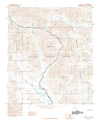
1983 · Arctic C-1
USGS Topo · 1:63,360
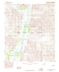
1983 · Table Mountain C-5
USGS Topo · 1:63,360
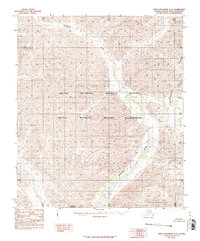
1983 · Table Mountain D-5
USGS Topo · 1:63,360
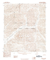
1983 · Arctic D-1
USGS Topo · 1:63,360
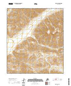
2018 · Arctic D-1 SW
USGS Topo · 1:25,000