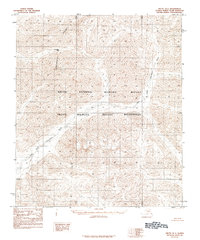
1983 Map of Arctic D-1
USGS Topo · Published 1984About this map
The Continental Divide cuts through this remote northern landscape, marking the hydrological crest of the Brooks Range where water begins its long descent toward either the Yukon basin or the Arctic Ocean. Published in the early 1980s, this survey focuses on the pristine protected lands of the Arctic National Wildlife Refuge and the Arctic Wildlife Refuge Wilderness. The topographical detail reveals the complex drainages of the East Fork Chandalar River and the main Chandalar River, which snake through the valley floors beneath high mountain ridges. This sheet highlights critical geographic waypoints like Guilbeau Pass, providing a technical view of a region defined by its lack of human infrastructure and its intact natural systems during a period of increasing federal land management in Alaska.
Find a feature on this map
6 named features on this map. Tap any name to fly to it.
Don’t see what you’re looking for? This feature index may not catch every label — zoom into the map to look around manually.
Map Details
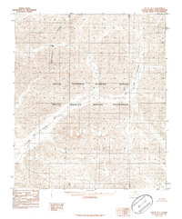
Editions of this 1983 Arctic D-1 Map
2 editions found
Other maps of this area

1951 · Demarcation Point
USGS Topo · 1:250,000

1951 · Arctic
USGS Topo · 1:250,000

1951 · Table Mountain
USGS Topo · 1:250,000

1951 · Mt. Michelson
USGS Topo · 1:250,000

1955 · Demarcation Point
USGS Topo · 1:250,000

1956 · Table Mountain
USGS Topo · 1:250,000

1956 · Arctic
USGS Topo · 1:250,000

1956 · Mt. Michelson
USGS Topo · 1:250,000

1964 · Table Mountain
USGS Topo · 1:250,000

1964 · Demarcation Point
USGS Topo · 1:250,000